THE SUN-DRENCHED DIAMOND WAY
KIMBERLEY 1980s
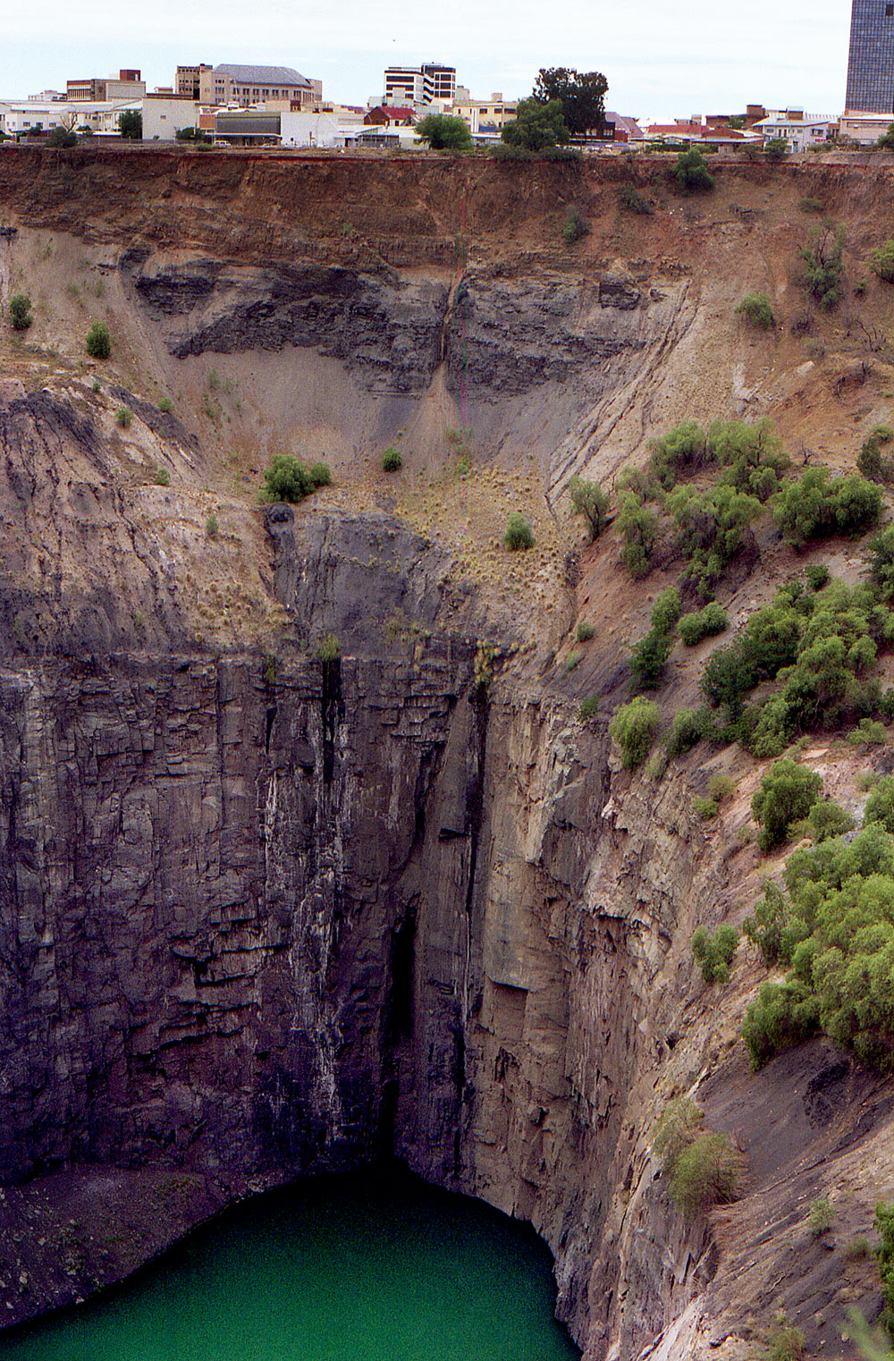
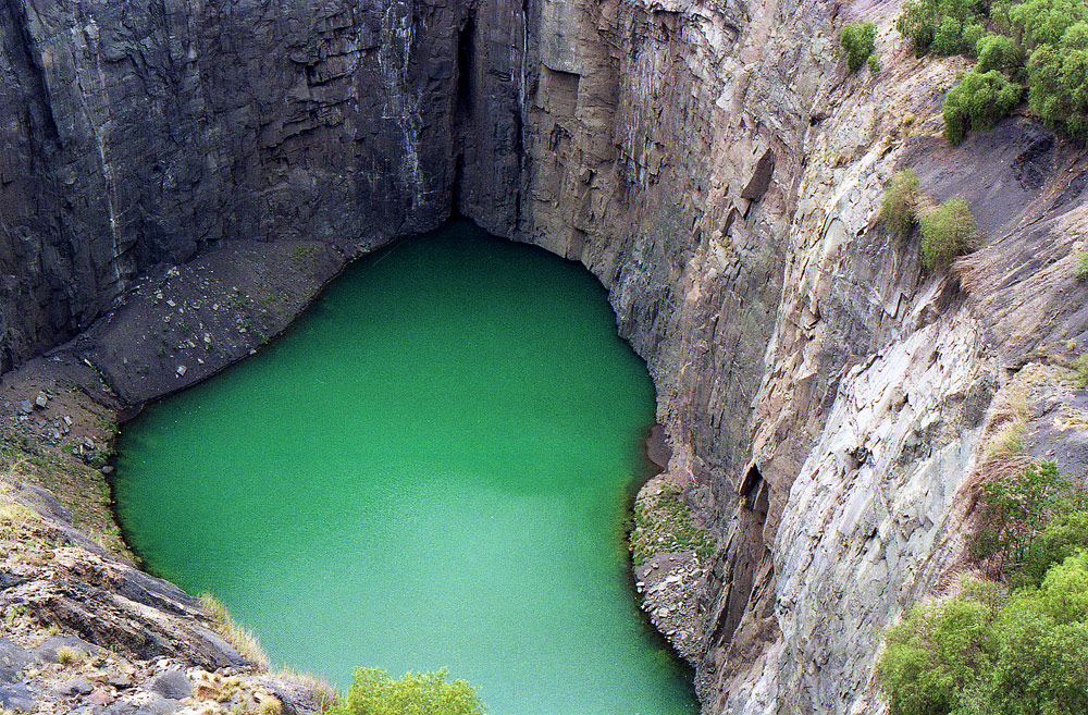
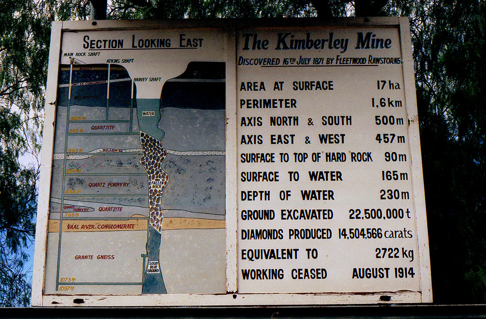
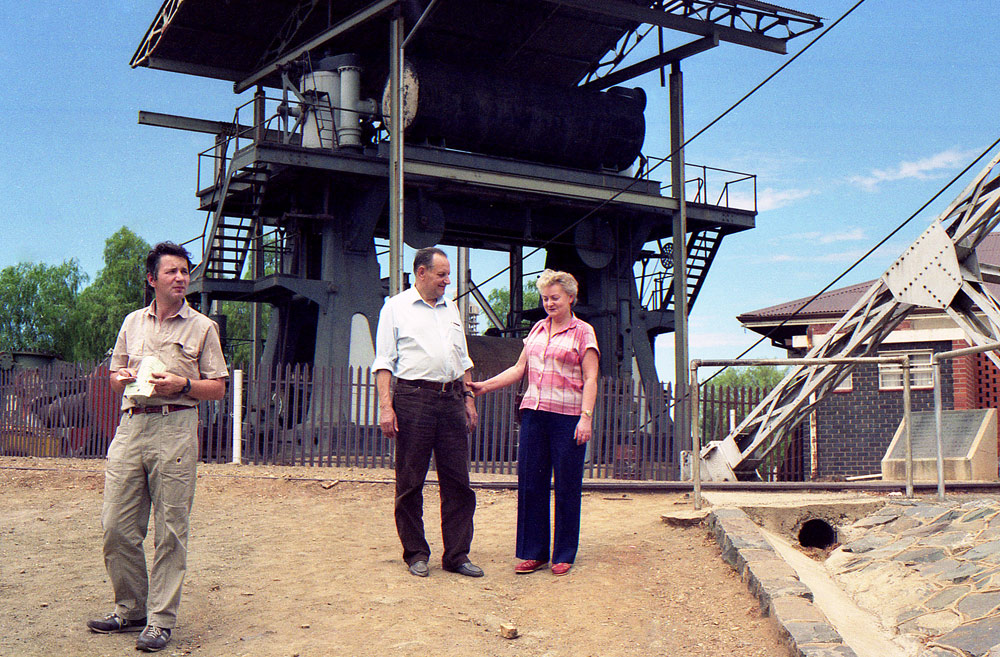
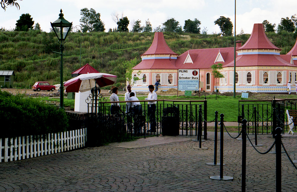
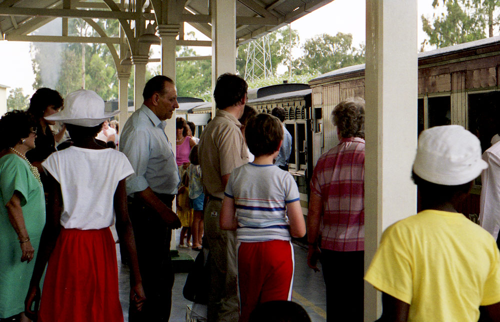
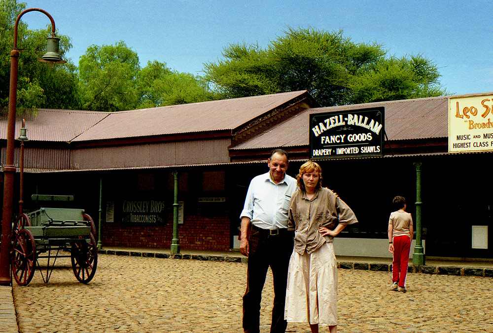
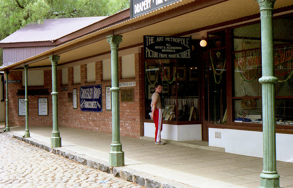
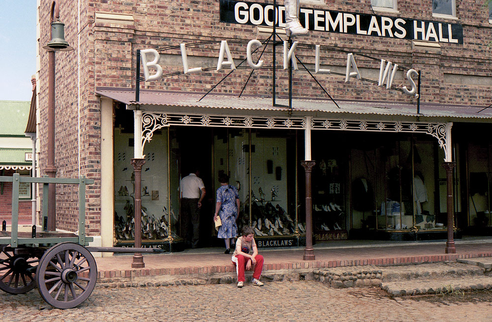
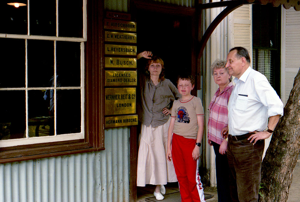
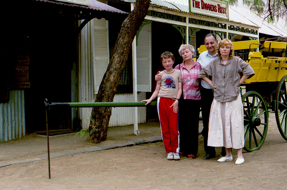
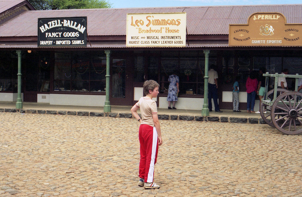
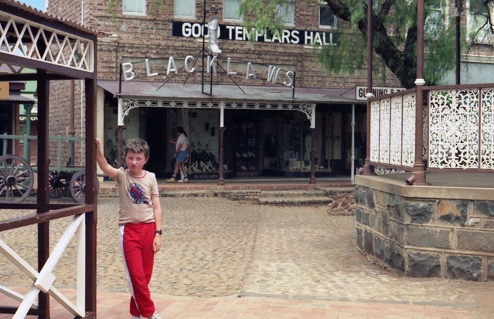
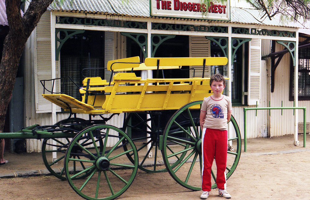
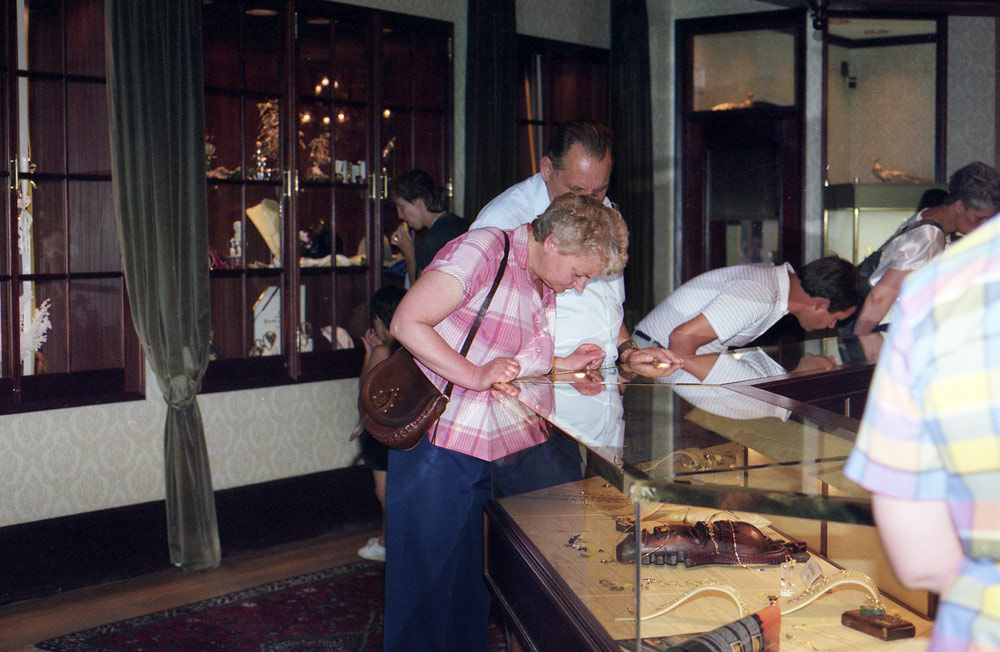
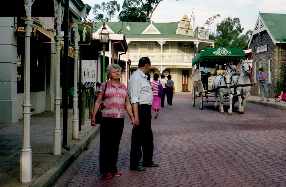
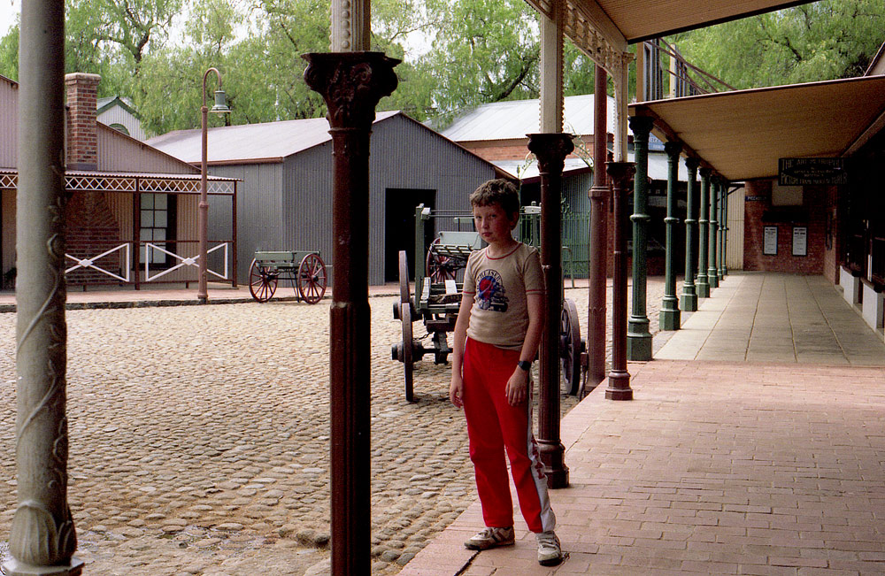
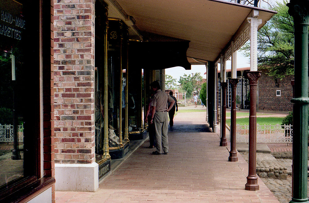
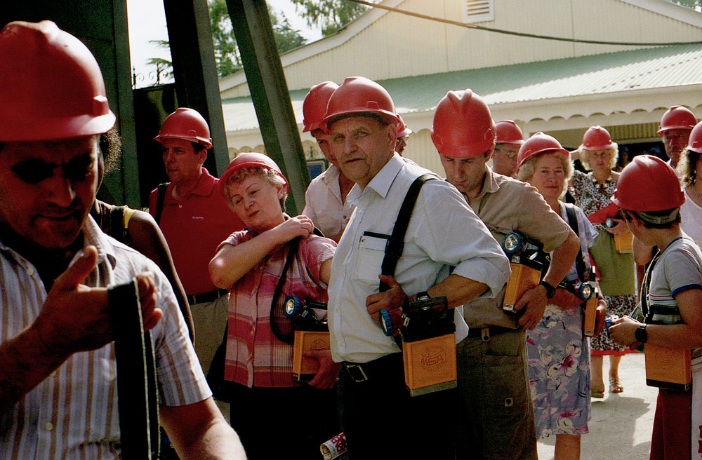
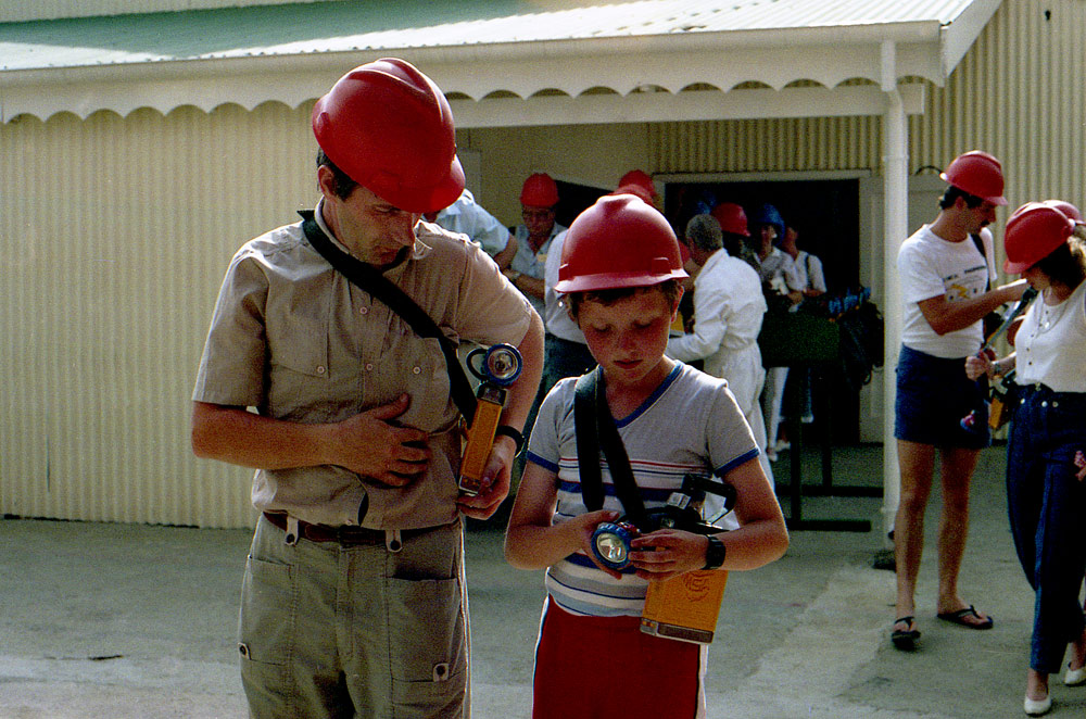
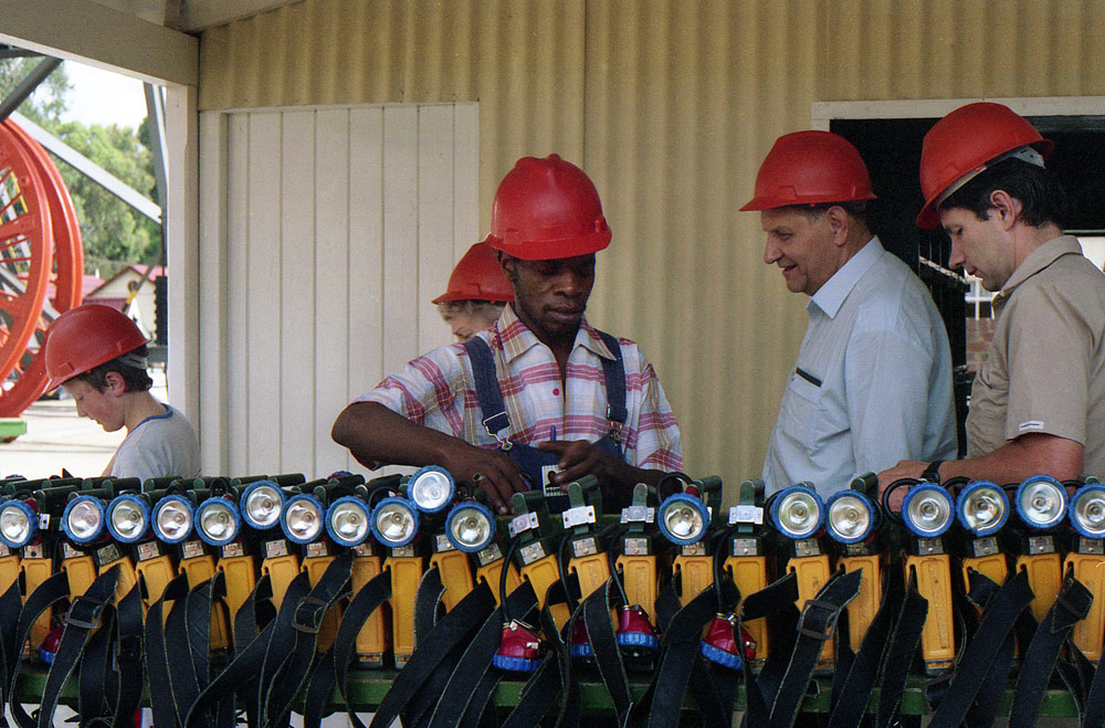
Kimberley is the capital city of South Africa’s Northern Cape Province. It’s known for its 19th-century diamond mines, like the deep, hand-dug Big Hole. Nearby, the Kimberley Mine Museum is a re-creation of the town in its heyday, and displays jewellery and uncut diamonds.
THE BIG HOLE
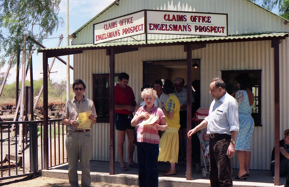
Pozwolenie na szukanie diamentow.
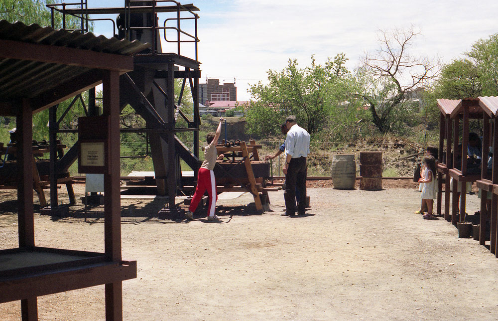
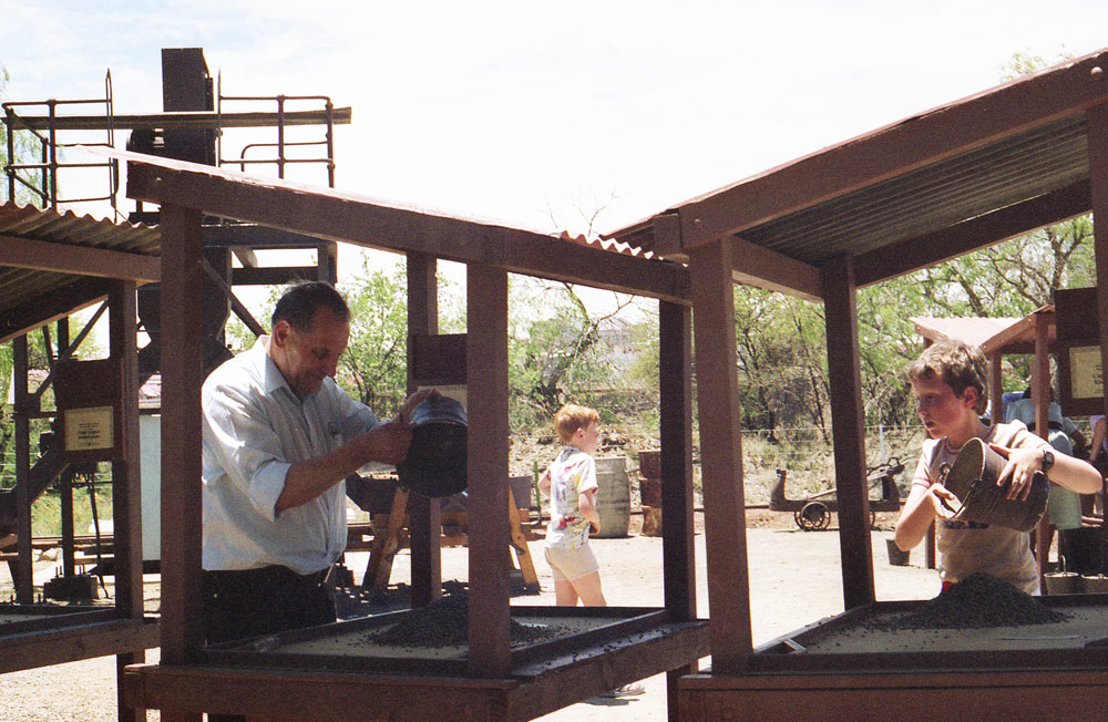
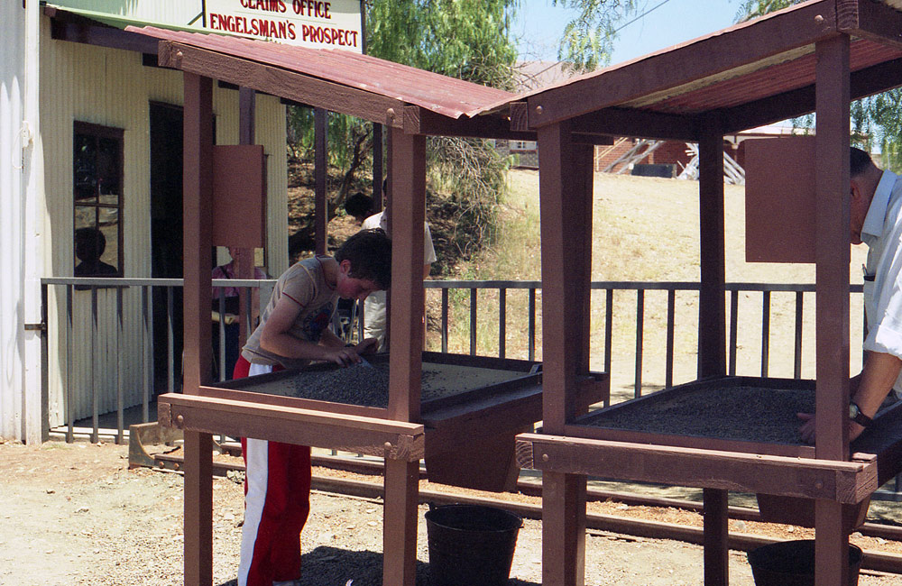
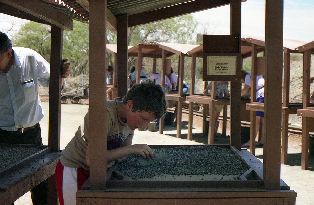
Szukanie diamentow.
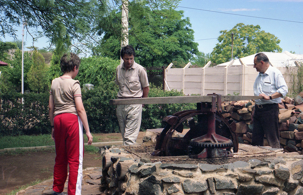
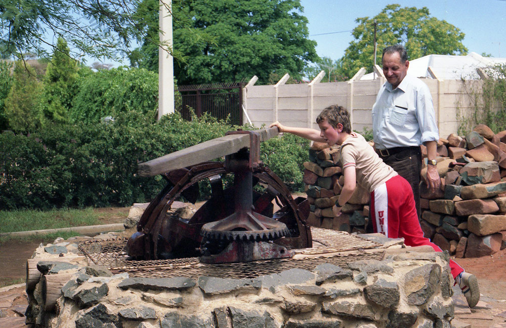
GOLDEN GATE
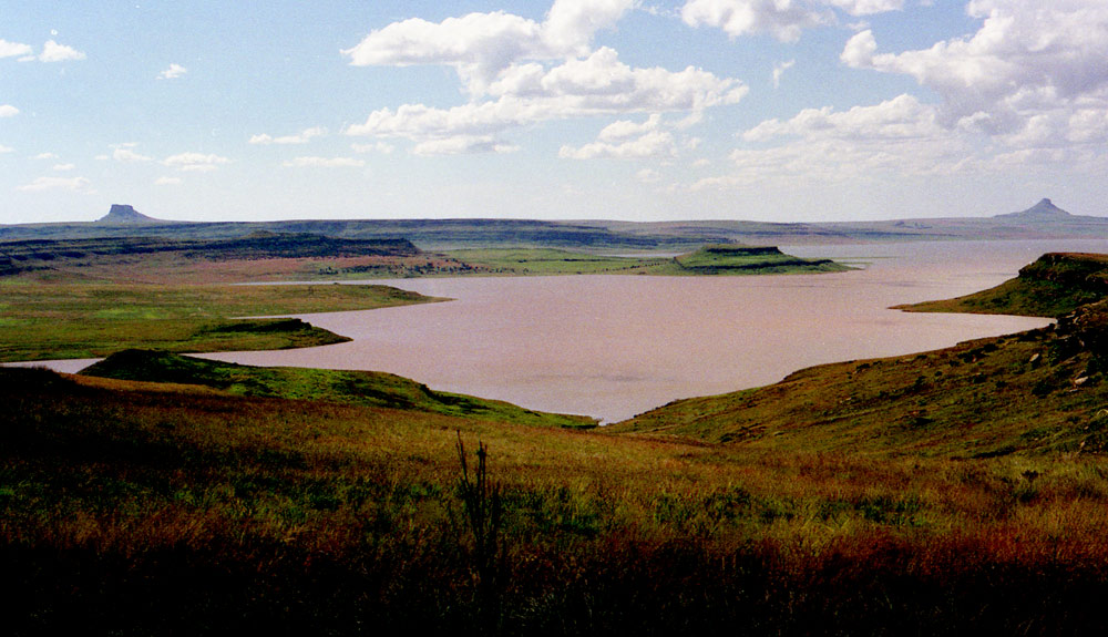
GOLDEN GATE
HIGHLANDS NATIONAL PARK
Golden Gate Highlands National Park is located in Free State, South Africa, near the Lesotho border. It covers an area of 340 km². The park's most notable features are its golden, ochre, and orange-hued, deeply eroded sandstone cliffs and outcrops, especially the Brandwag rock. Wikipedia
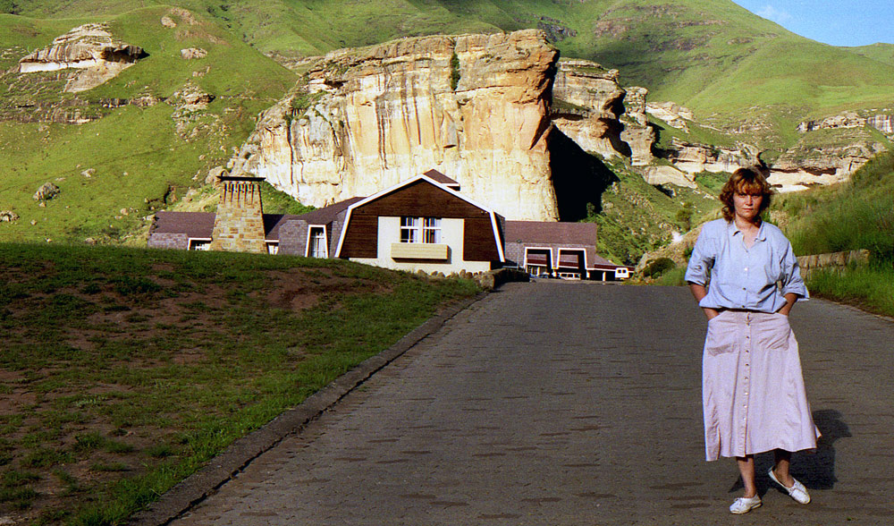
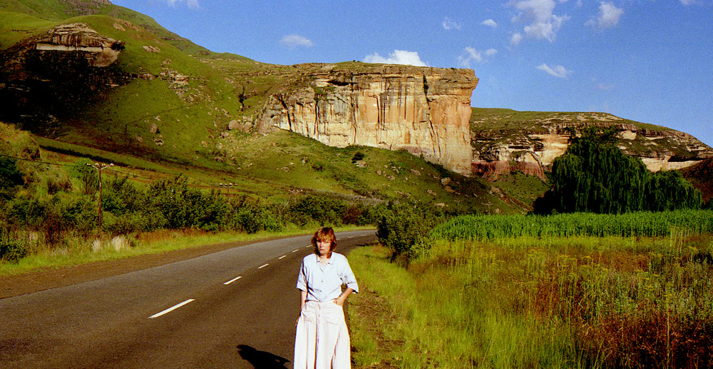
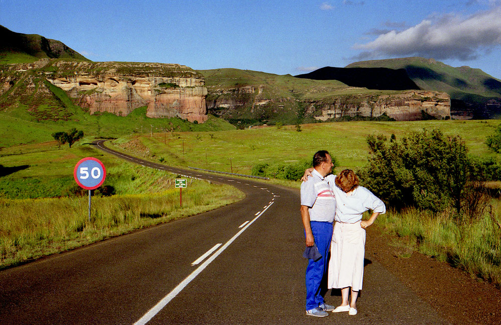
Dominating the high plains of the eastern Orange Free State, the sandstone pile known as Kerkenberg, or Church Mountain.
Gold is still to be found in these hills.
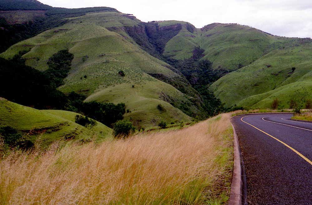
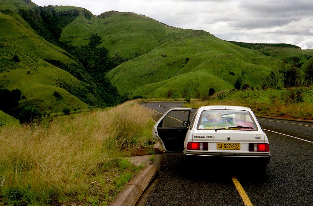
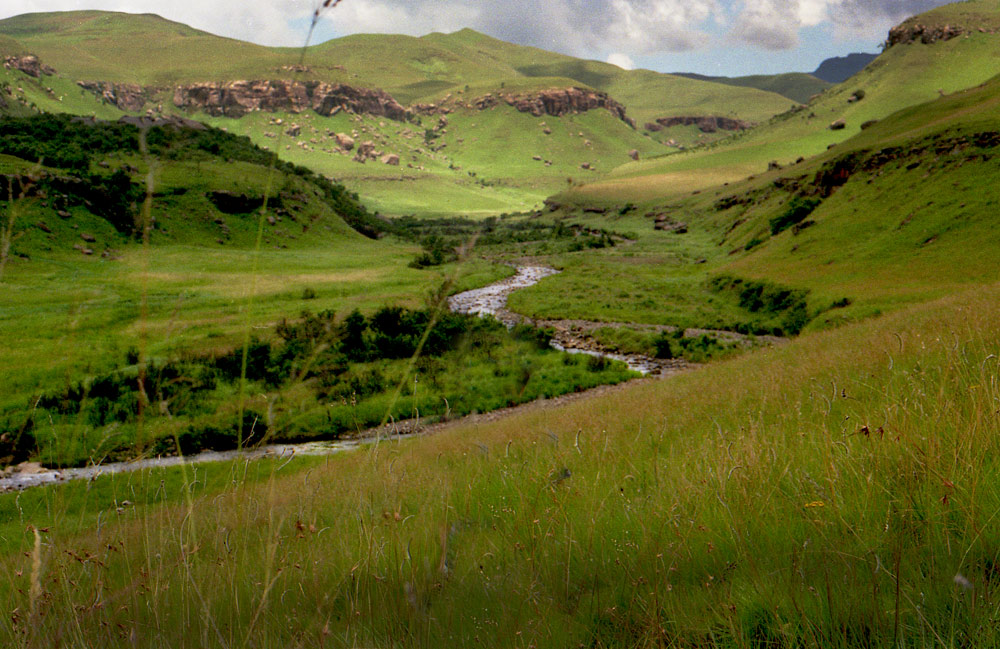
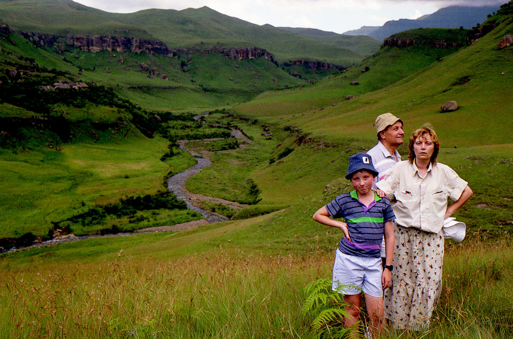
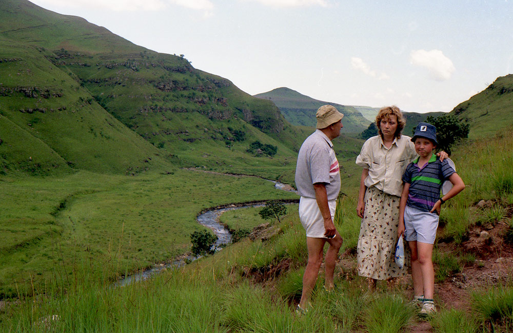
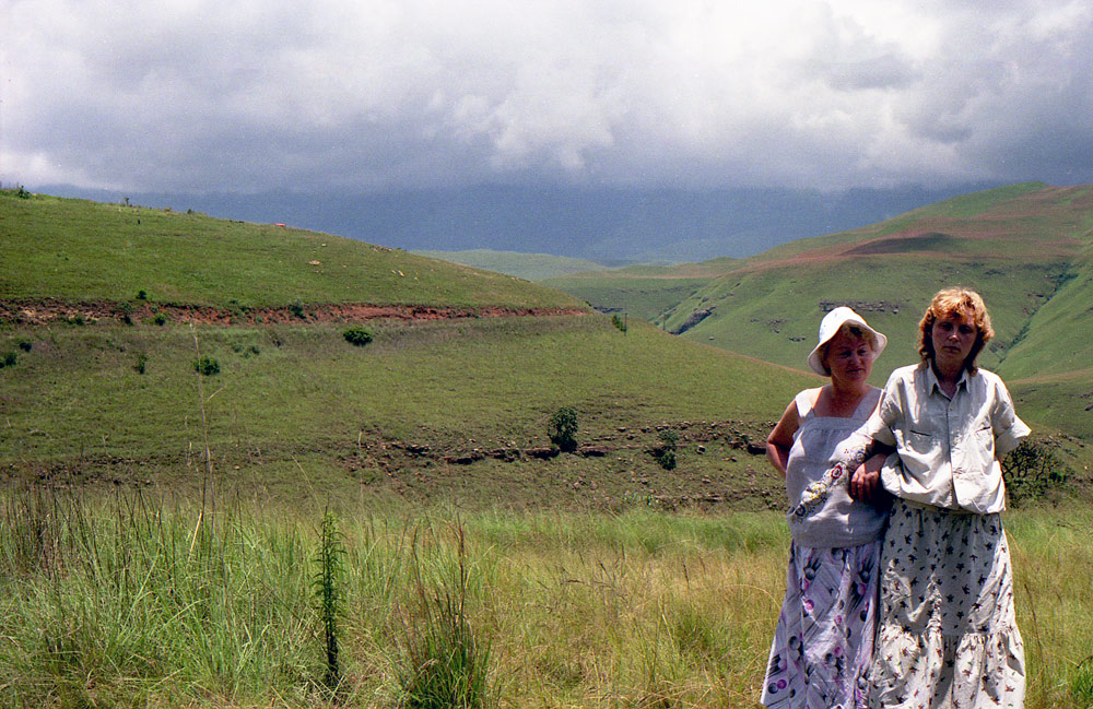
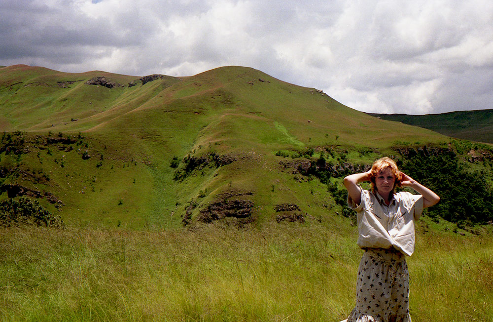
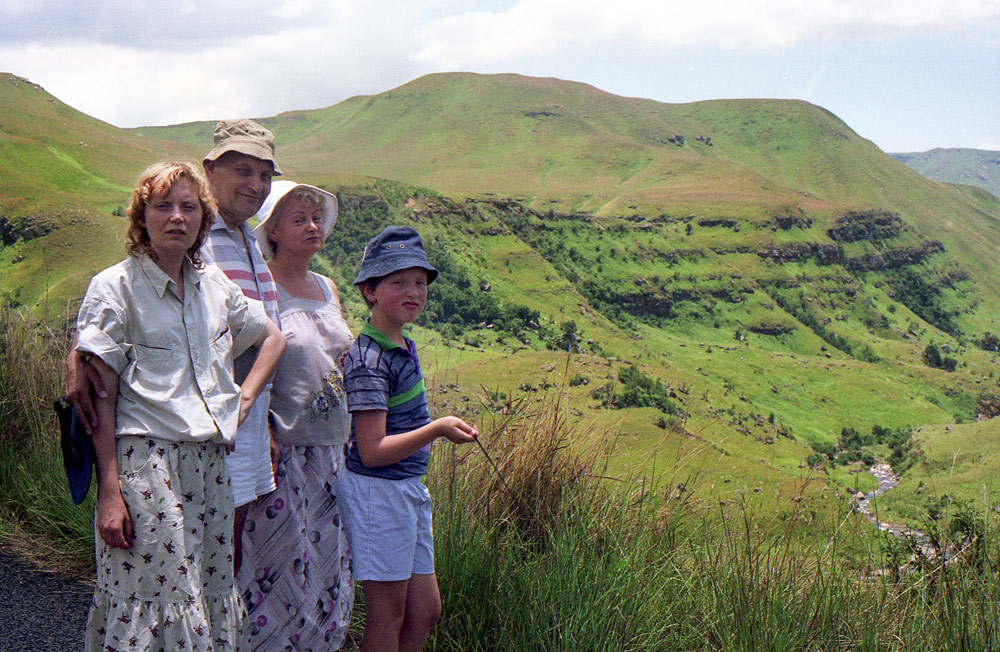
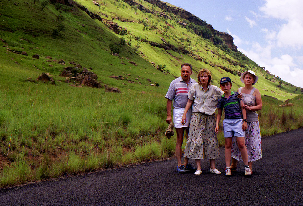
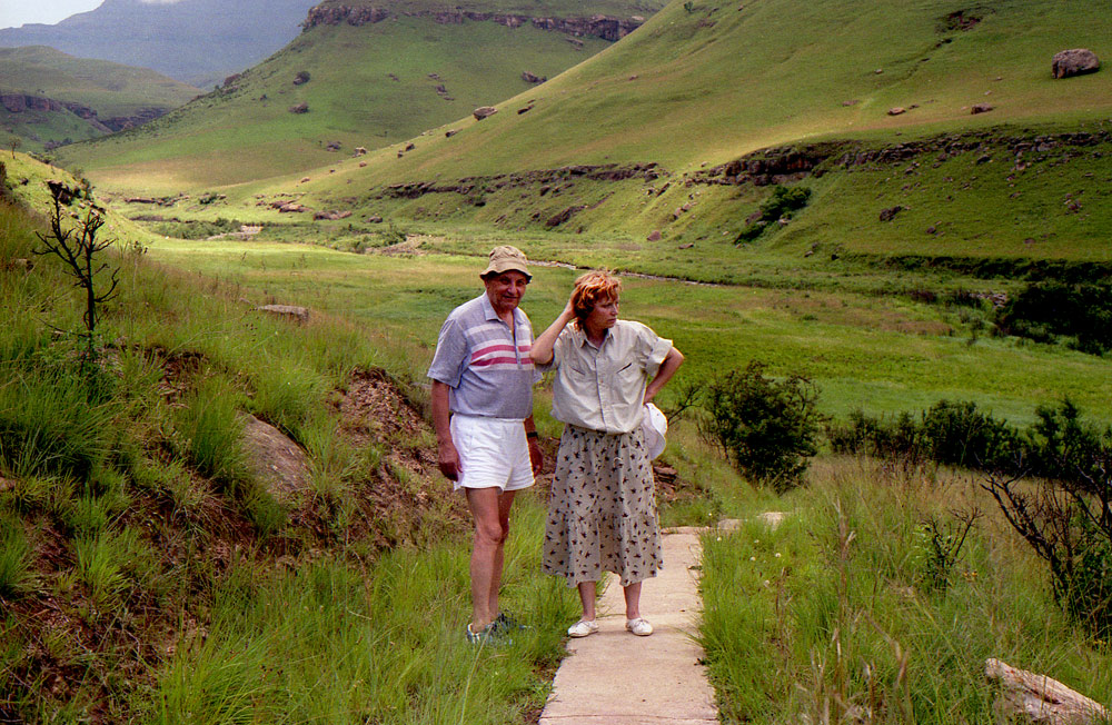
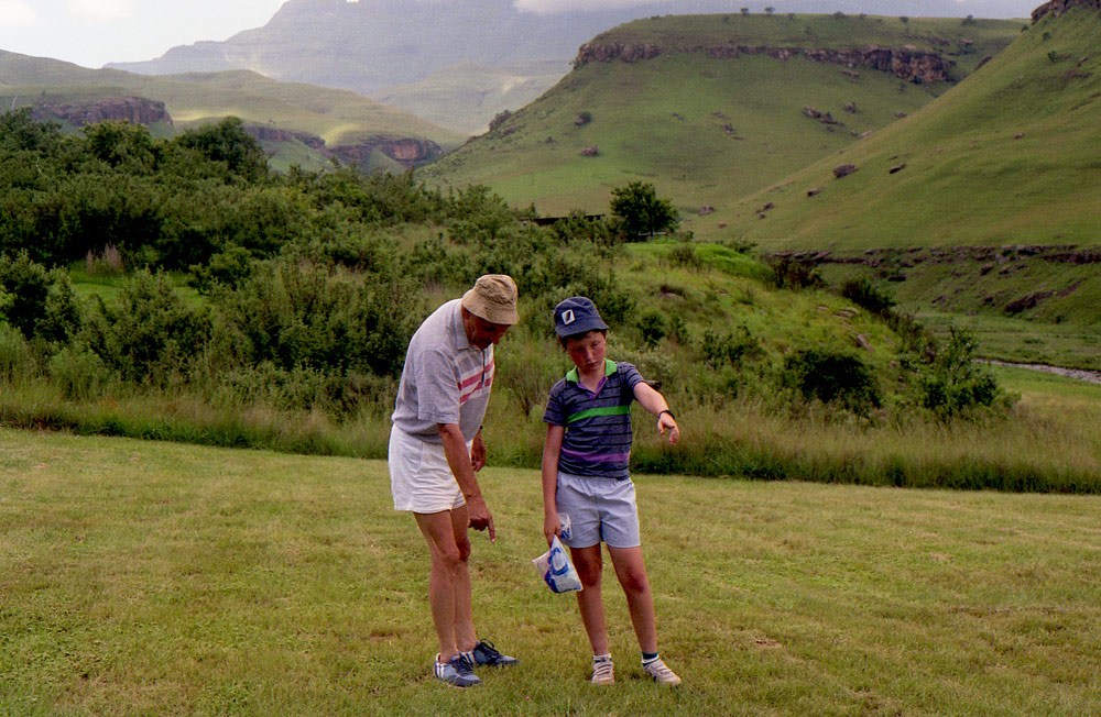
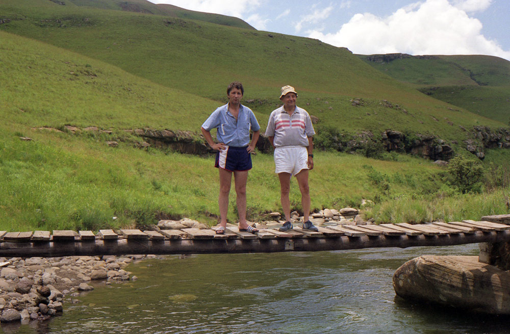
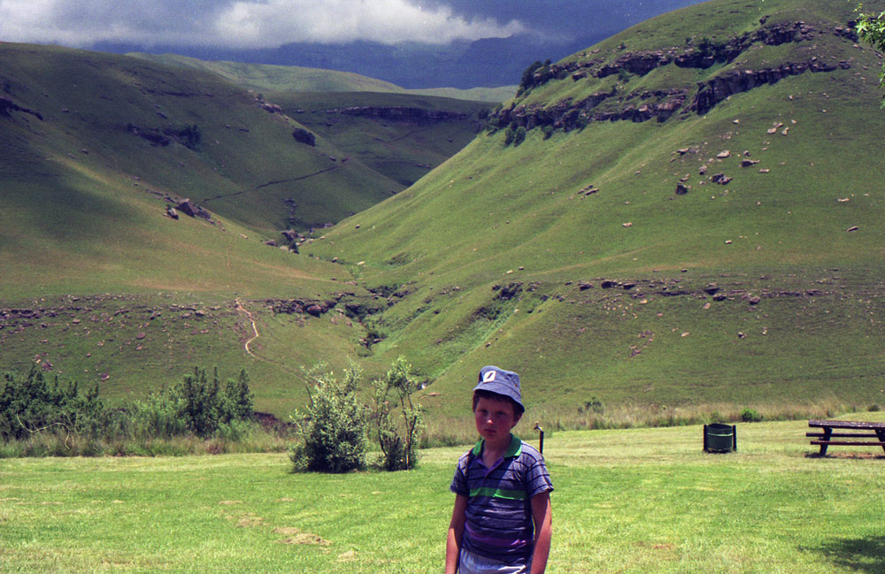
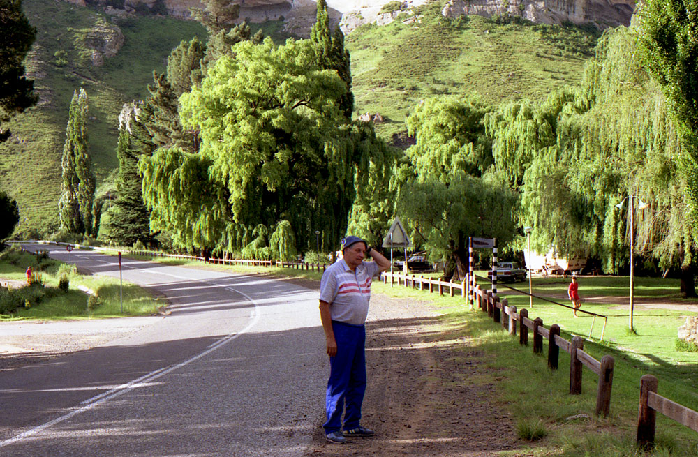
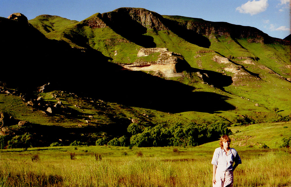
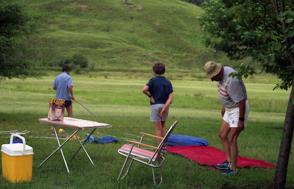
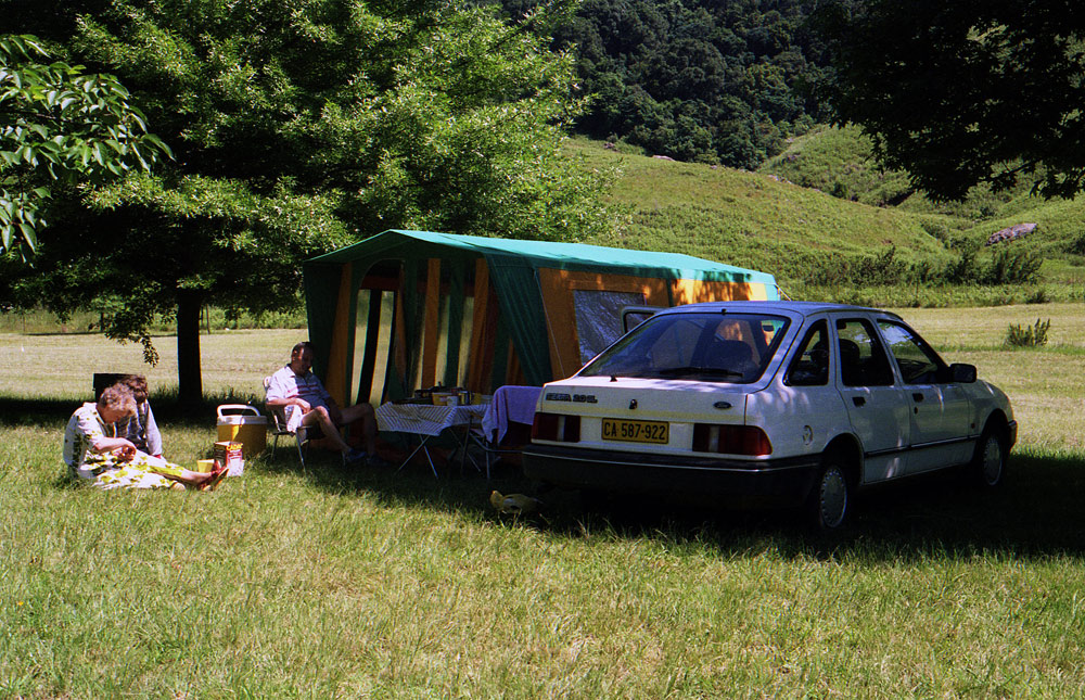
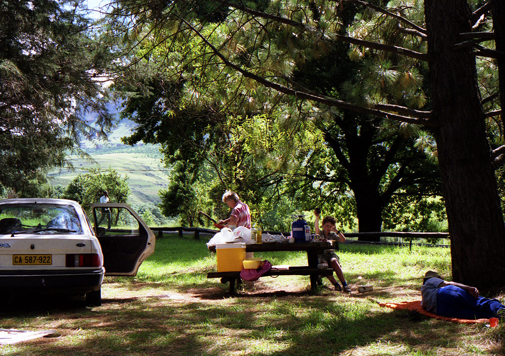
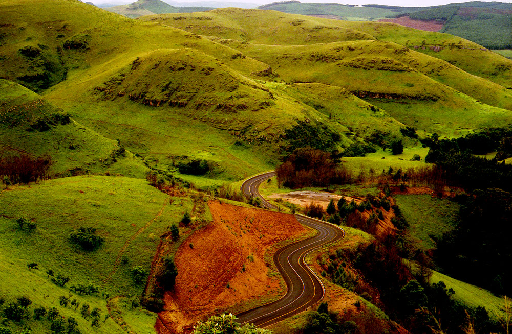
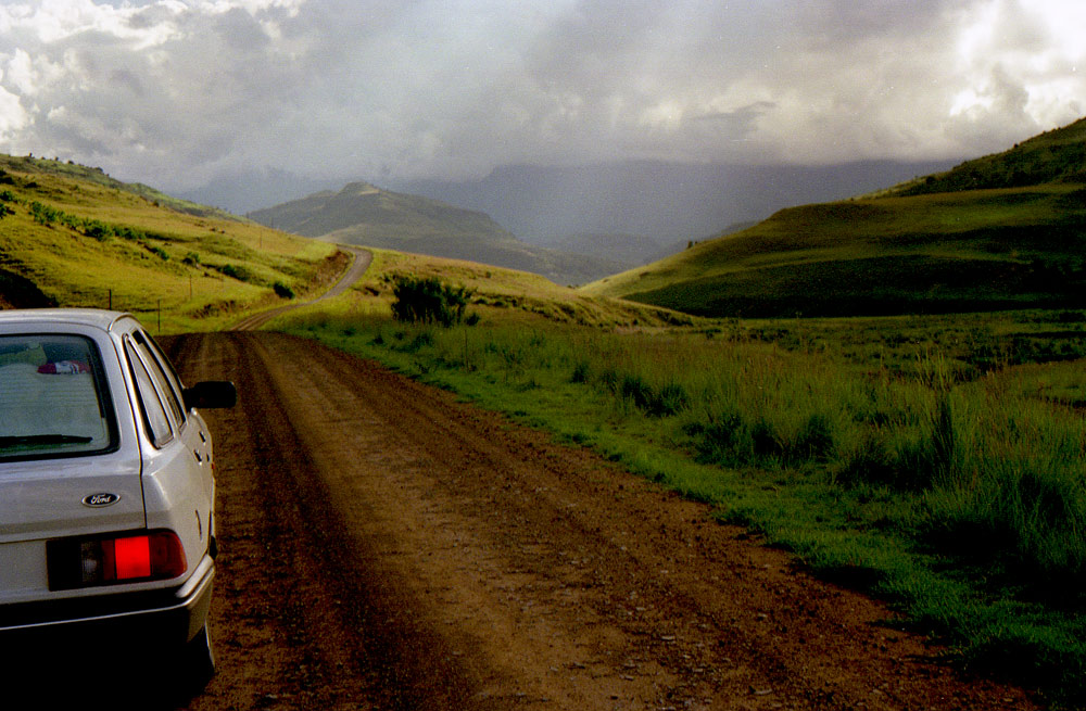
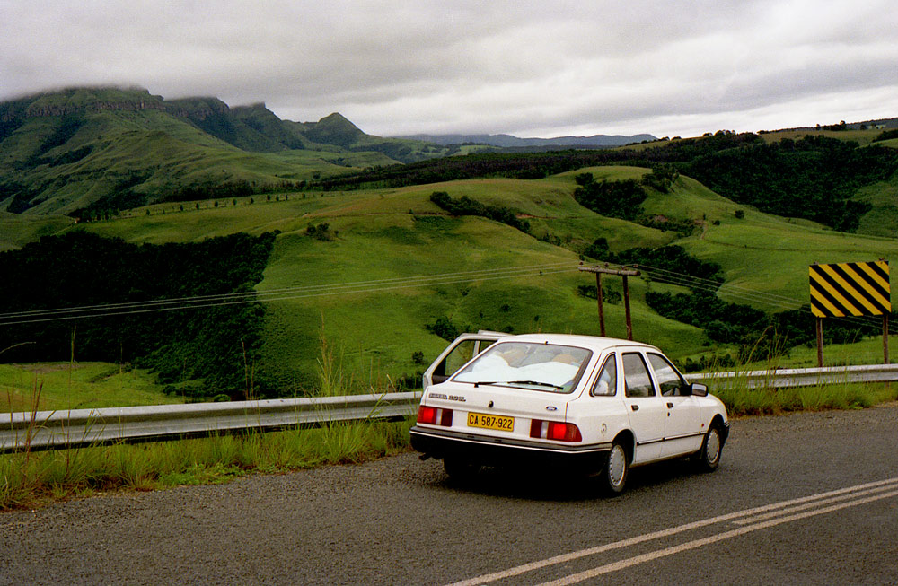
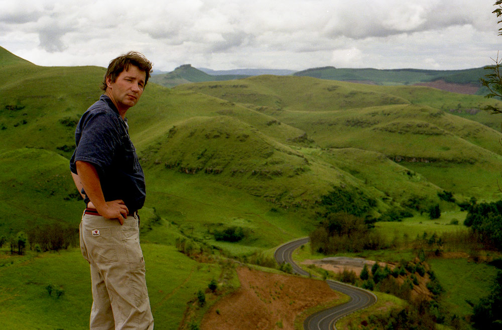
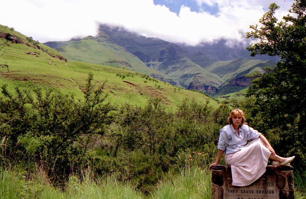
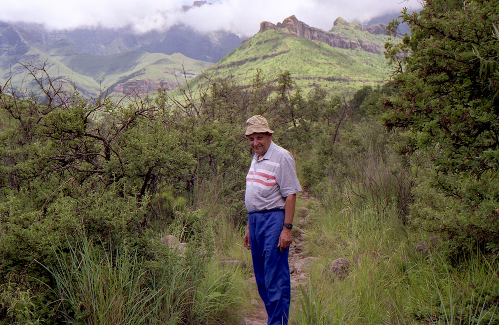
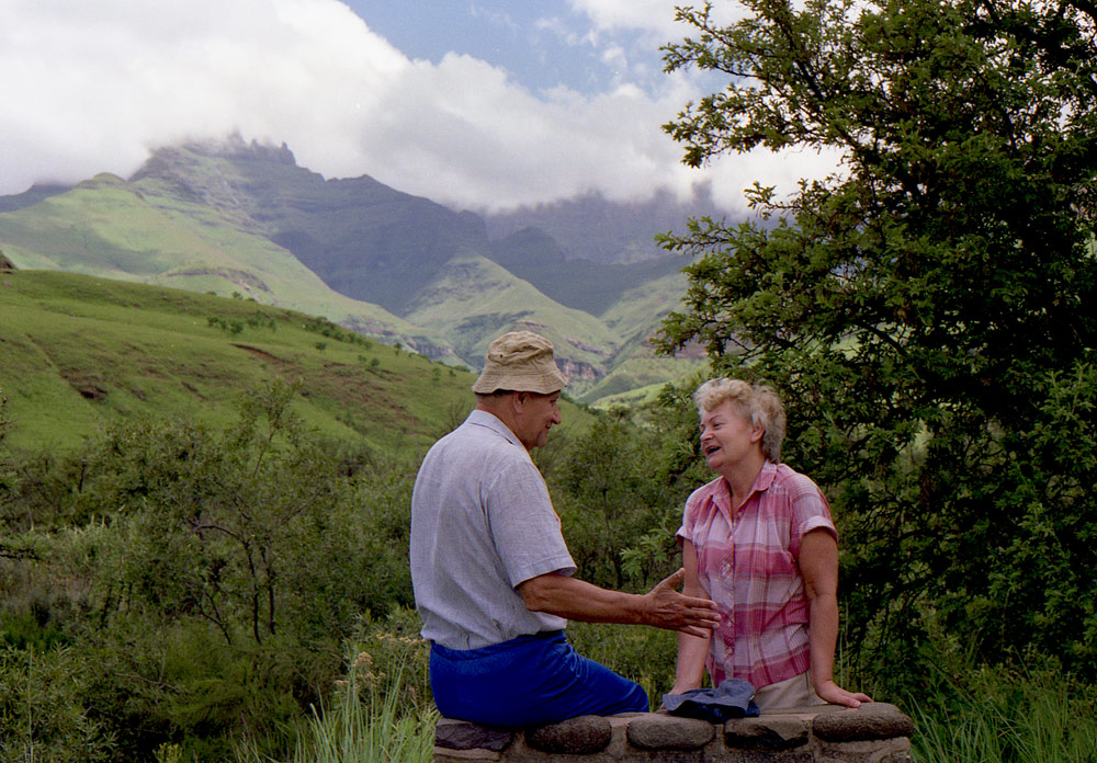
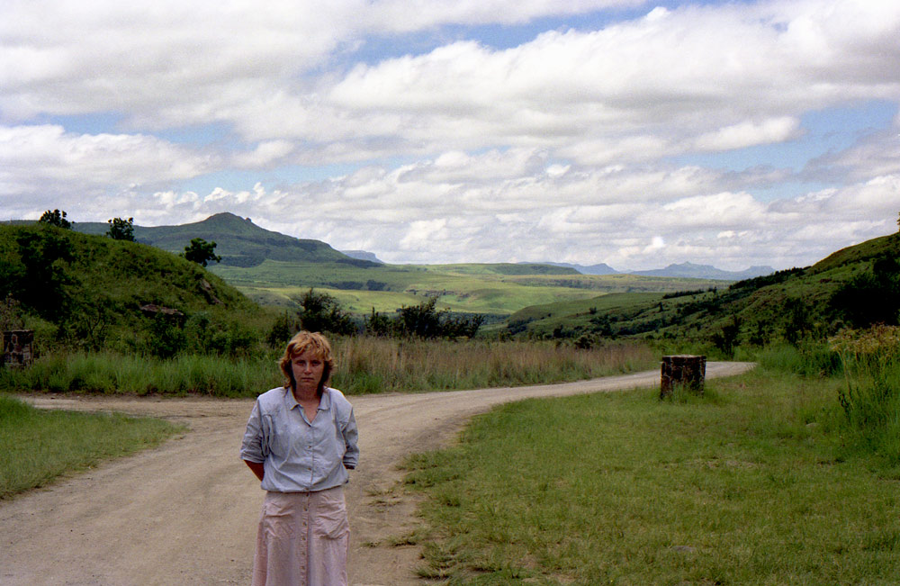
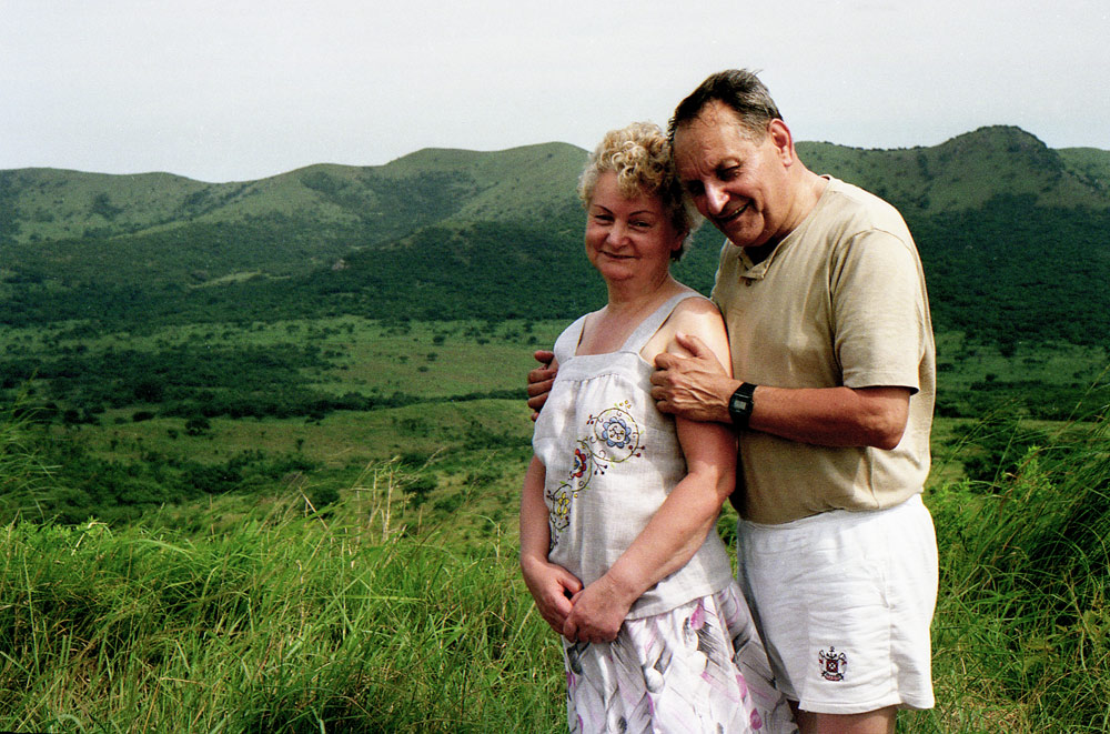
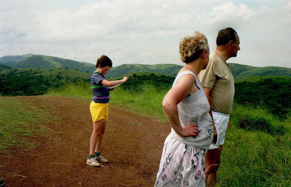
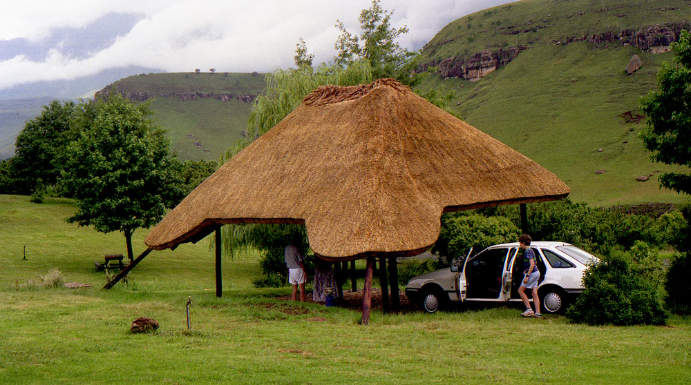
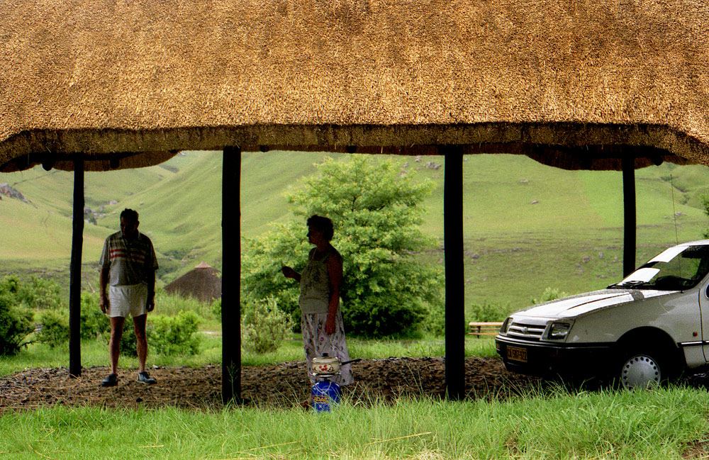
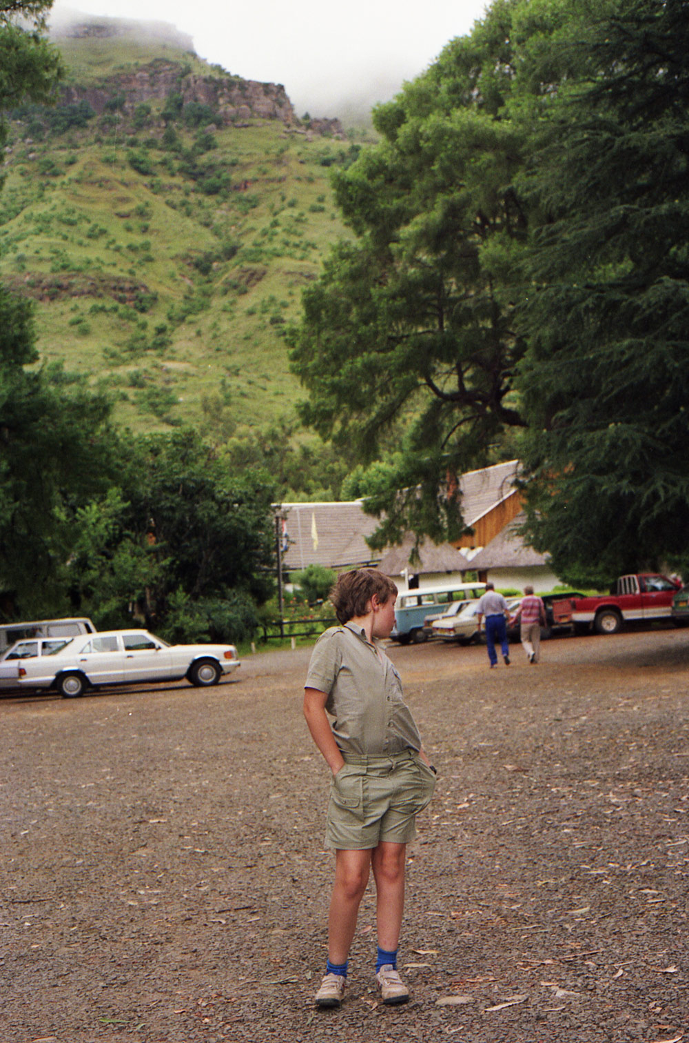
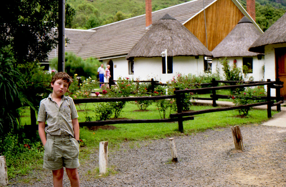
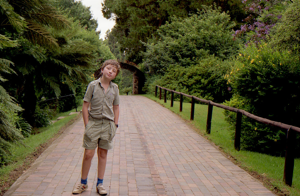
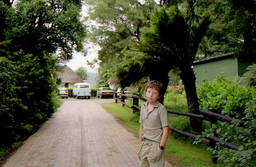
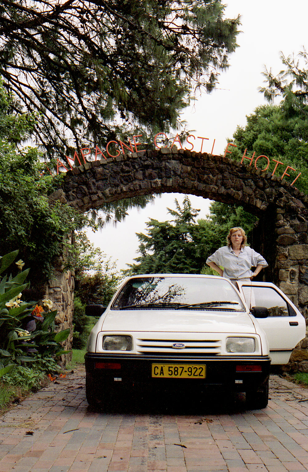
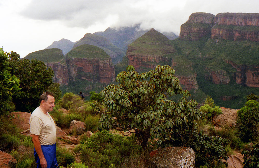
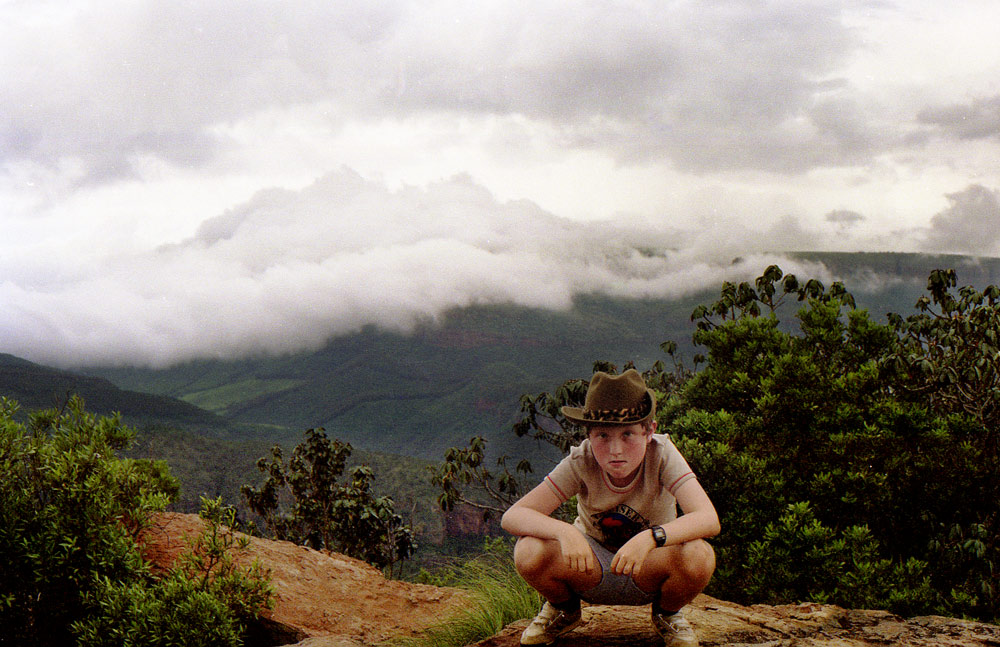
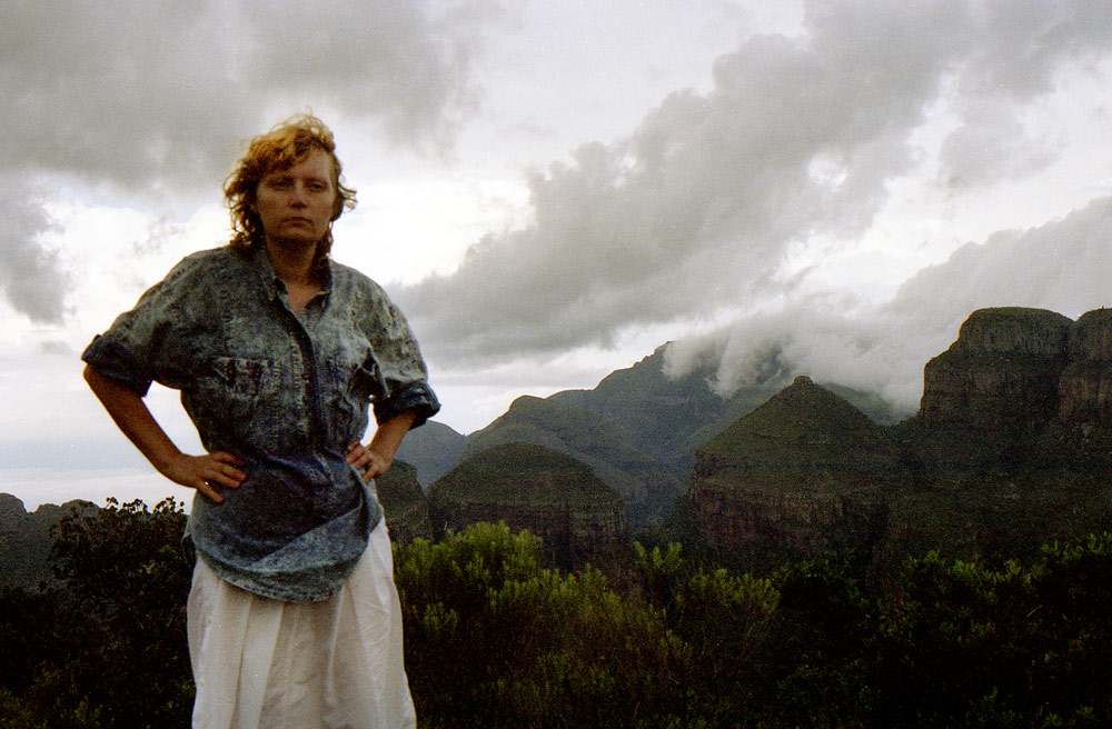
DRAKENSBERG
The Drakensberg is the name given to the eastern portion of the Great Escarpment, which encloses the central Southern African plateau. The Great Escarpment reaches its greatest elevation in this region – 2,000 to 3,482 metres. It is located in South Africa and Lesotho. Wikipedia
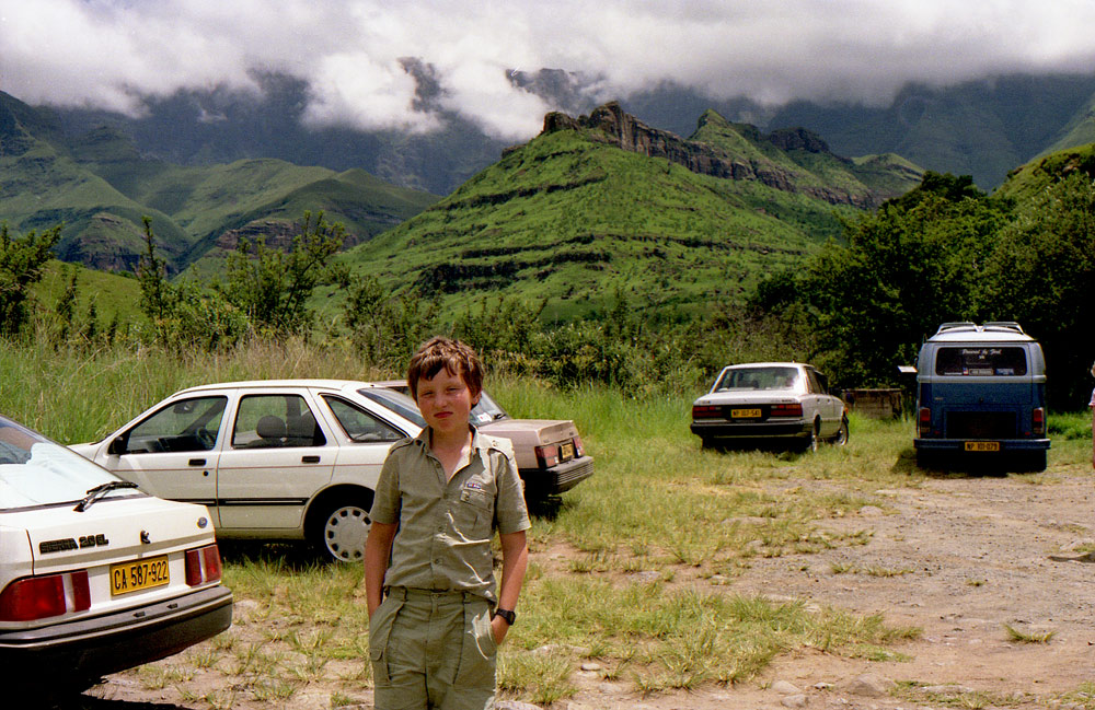
THE HAUNTING EDGE OF THE BERG
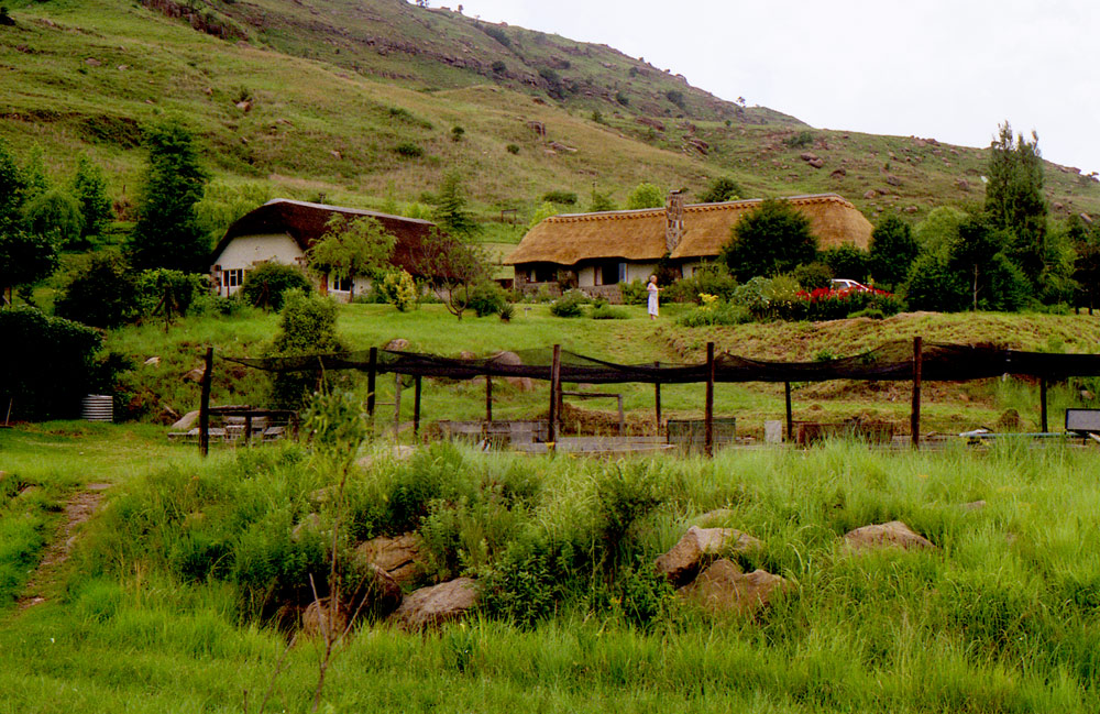
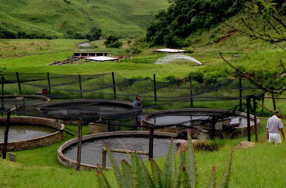
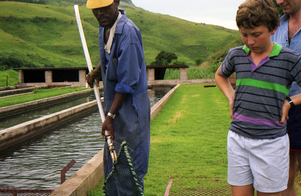
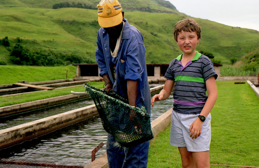
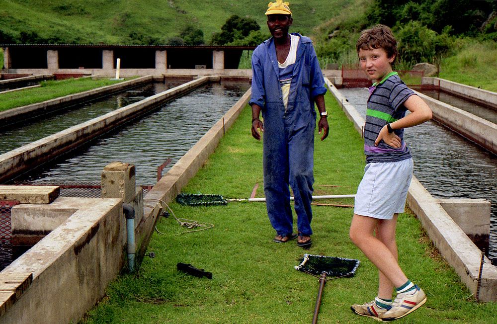
Hodowla pstragow, kupilismy swierze ryby na kolacje.
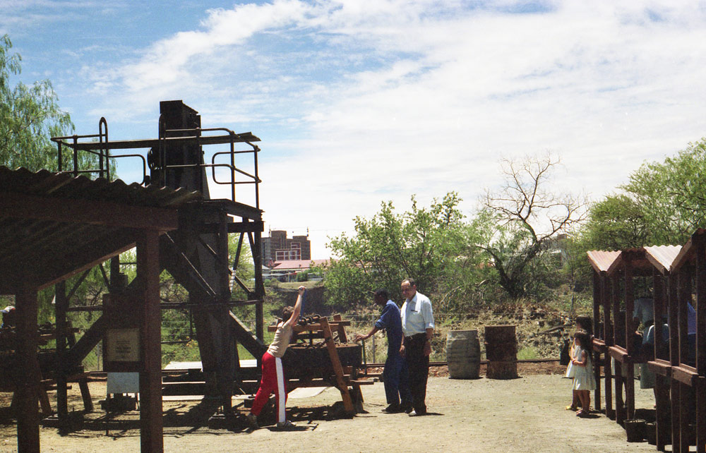
GAUTENG
Situated in the Highveld, Gauteng is the smallest province in South Africa, accounting for only 1.5% of the land area.[5] Nevertheless, it is highly urbanised, containing the country's largest city, Johannesburg, its administrative capital, Pretoria, and other large areas such as Midrand and Vanderbijlpark. As of 2018, Gauteng is the most populous province in South Africa with a population of approximately 14,700,000 people according to estimates.
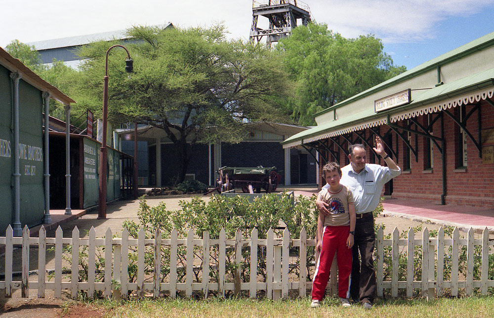
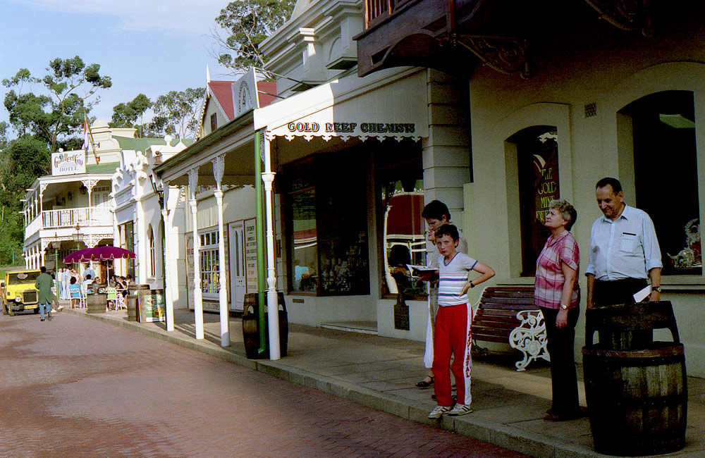
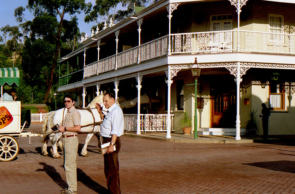
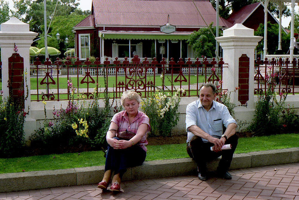
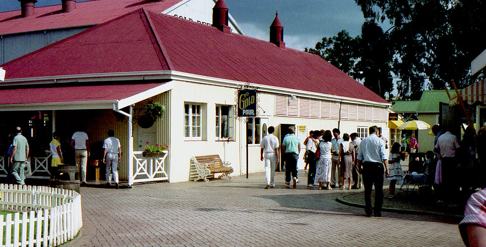
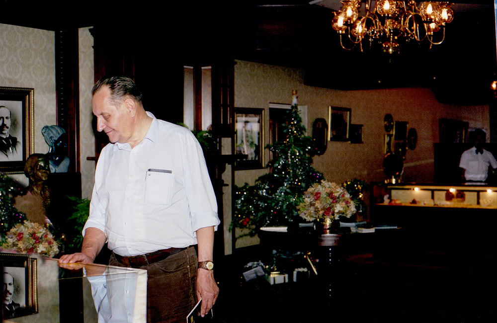
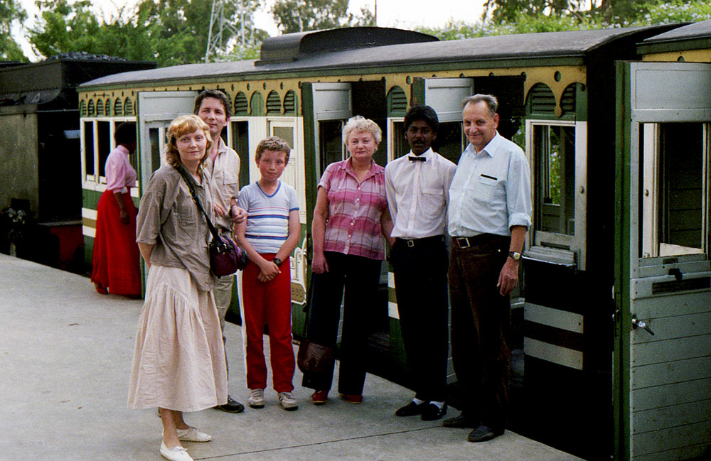
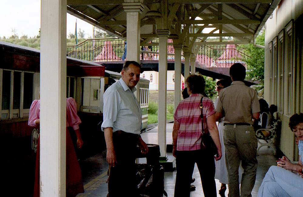
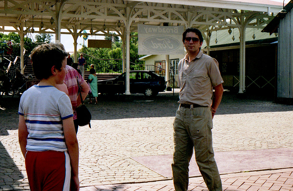
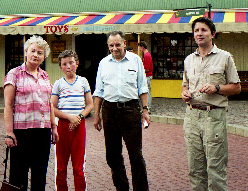
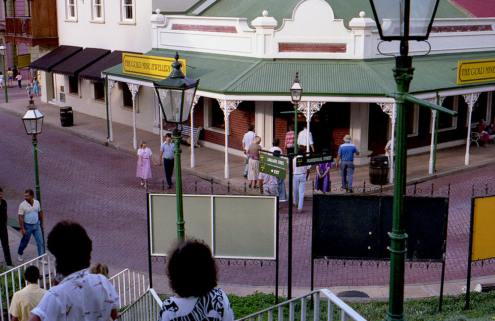
GOLD REEF CITY
Atrakcja turystyczna Gold Reef City w Johannesburgu
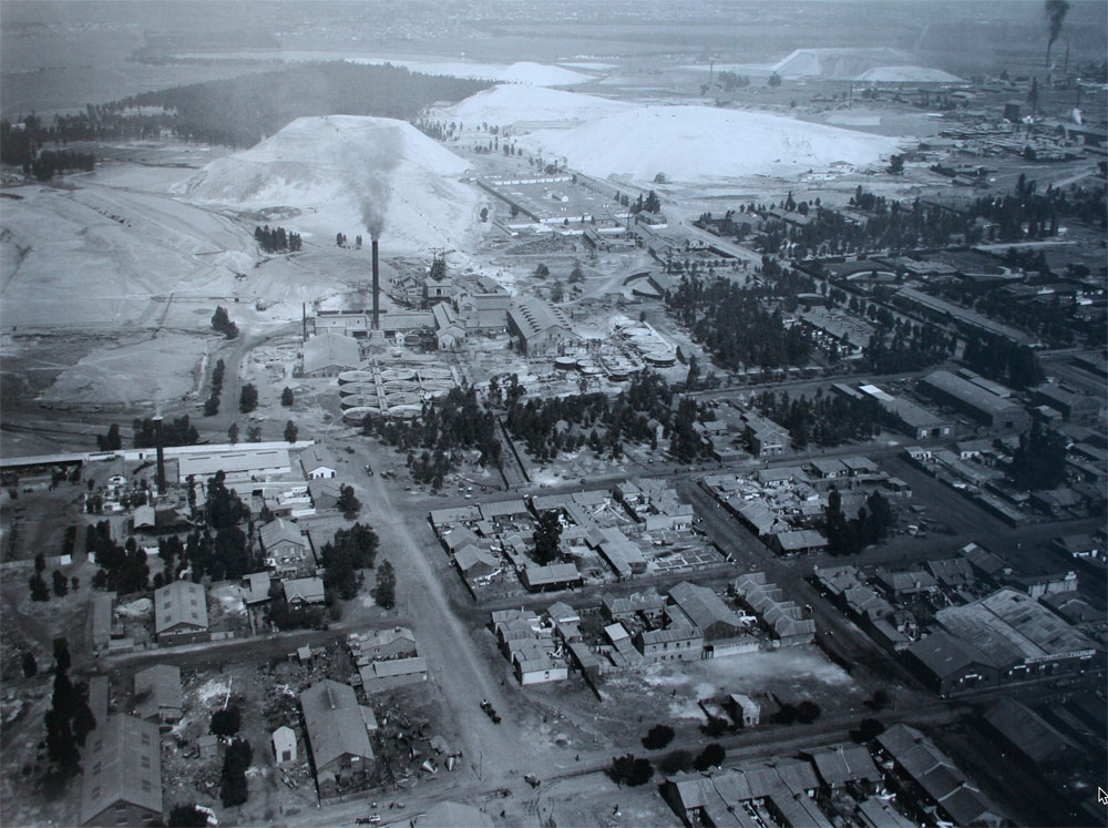
Discovery of the Gold in 1884
The first recorded discovery of gold on the Witwatersrand was made by Jan Gerrit Bantjes in June 1884, on the farm Vogelstruisfontein, and was followed soon thereafter, in September, by the Struben brothers who uncovered the Confidence Reef on the farm Wilgespruit, near present-day Roodepoort. However, these were minor reefs, and today it is the general consensus that credit for the discovery of the main gold reef must be attributed to George Harrison, whose findings on the farm Langlaagte were made in July 1886, either through accident or systematic prospecting. Before long open cast workings were being opened up along the full length of the main reef in the present district of Johannesburg.
By August 1886, the mining camp, as yet unnamed, could already boast of some 3000 inhabitants, most of them White, and on 8 September of that year nine farms, located in what is now regarded as the central Rand, were proclaimed public diggings. However Randjeslaagte, the site of present-day central Johannesburg, was not declared until 4 October 1886, and its village was only officially named ‘Johannesburg’ for the first time the previous day, 3 October 1886. The first building plots were subdivided and sold by public auction two months later, on 8 December.
The original miners' camp, under the informal leadership of Col Ignatius Ferreira, had been located in the Fordsburg dip, possibly because water was available there, and because of the site's close proximity to the diggings. Following upon the declaration of Johannesburg, this area was taken over by the Government who had it surveyed and named it Ferreira’s Town.
The sub-division of what became the settlement's central district was a typical product of nineteenth century mining camp planning. In the case of all other gold discoveries made previously in the Transvaal, deposits had invariably proved to have a short working life, so the concentrations of people they stimulated were equally short lived. However, these diggings had also been largely alluvial in nature and, despite the fact that ore deposits on the new reef seemed to be both concentrated and of a long life expectancy, the Government took the view that Johannesburg would be no different from any of the other gold mining villages which had preceded it. As a result, the initial survey and layout of the settlement was made with impermanence in mind. Even after it was realised that the gold reef ran both deep and wide, and the introduction in May 1890 of the MacArthur-Forrest cyanide process made recovery of gold excavated at deep levels economically feasible, the general consensus of the time was that Johannesburg's life span would not exceed 25 years. Thus, initially at any rate, life in the new mining town was one of uncertainty and, for a number of years many of its early buildings retained their prefabricated iron-and-timber.
City and Suburban Gold Mine, Johannesburg, South Africa
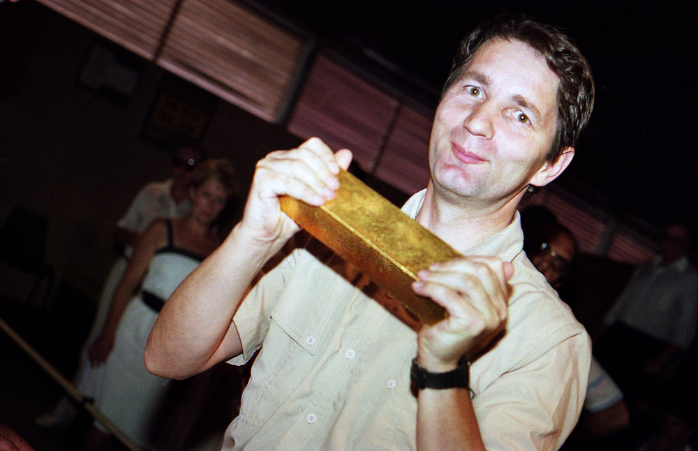
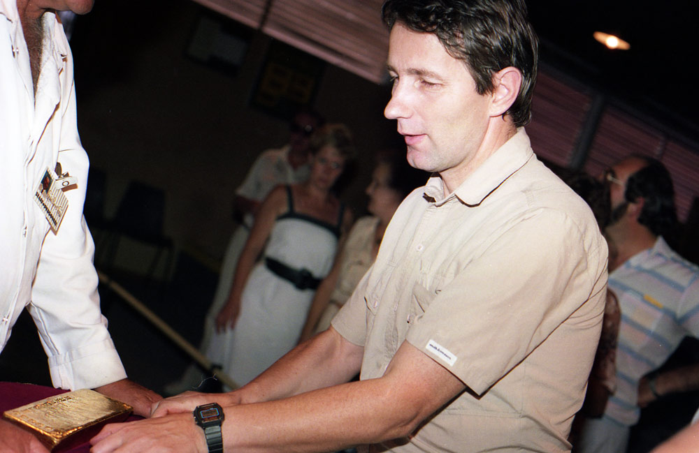
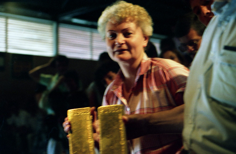
Prawdziwa sztaba zlota, demonstrowano dla turystow wytop i produkt ostateczny. Dziwne ze nawet nie bylo straznikow co by pilnowali pokazowego zlota, mimo duzej ilosci ludzi.
Złoża złota odkryto w Republice Południowej Afryki w 1883 roku. Wkrótce rozpoczęto jego intensywną produkcję. W 1905 roku kraj ten stał się największym na świecie producentem kruszcu i taką pozycję utrzymał ponad 100 lat. Przez kilkadziesiąt lat rosła podaż złota z południowoafrykańskich kopalń a w 1970 roku padł rekord na poziomie 1000 ton rocznie, co stanowiło wówczas 80 proc. światowej produkcji kruszcu.
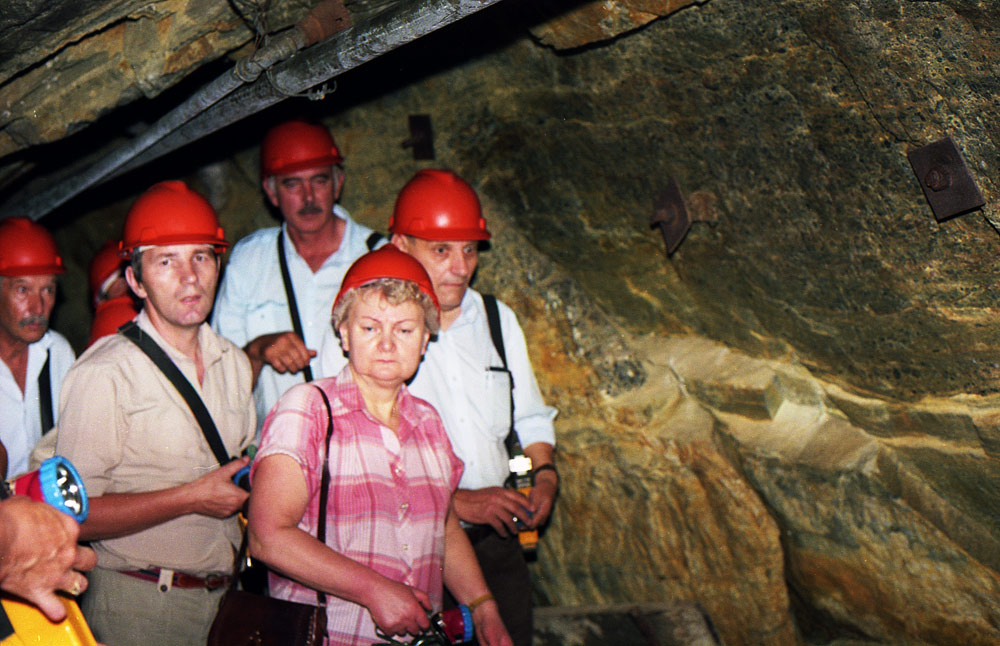
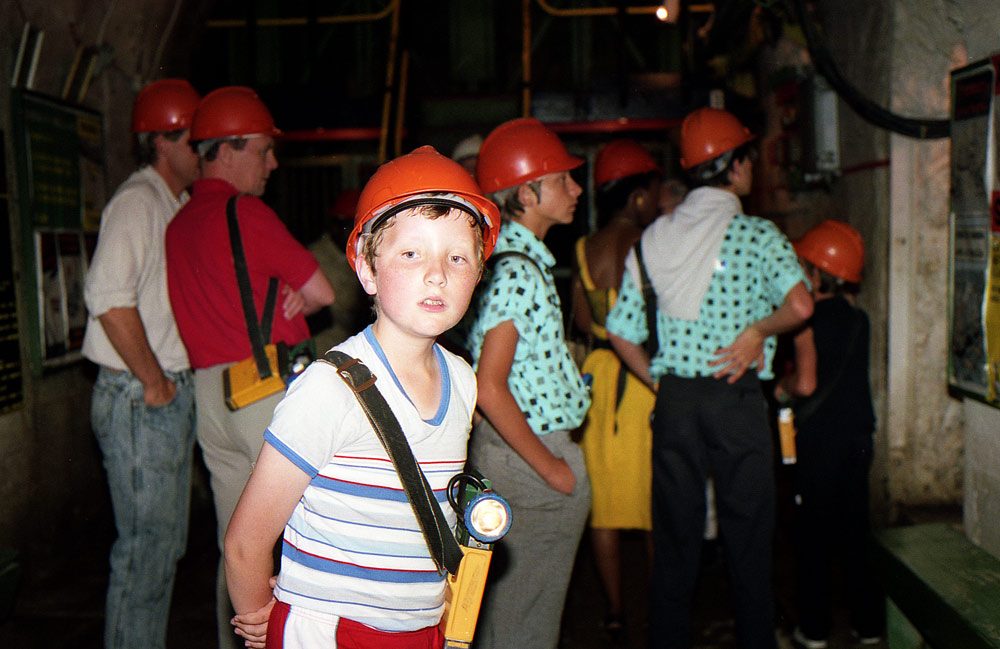
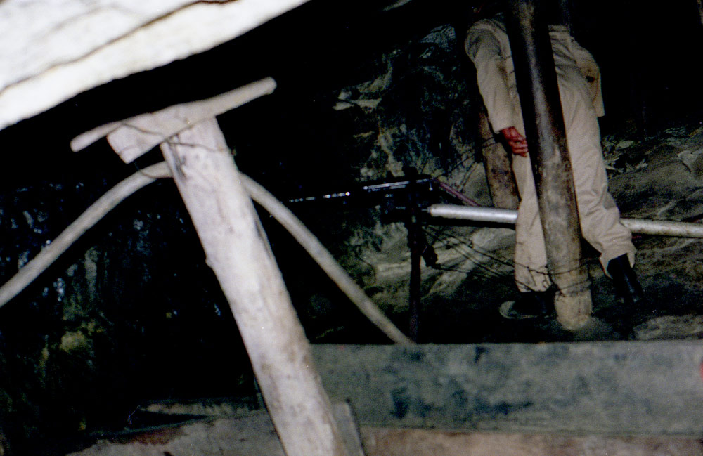
Jedna z najgłębszych kopalni na świecie. Najniższy pokład znajdował się na głębokości 3293 m pod ziemią. Obecnie muzeum i atrakcja turystyczna Gold Reef City w Johannesburgu.

W kopalni zlota, b. gleboko, winda jechala 65 km na godzine.
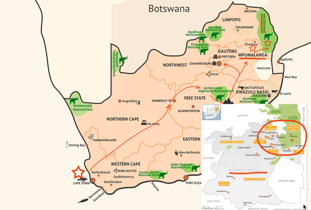
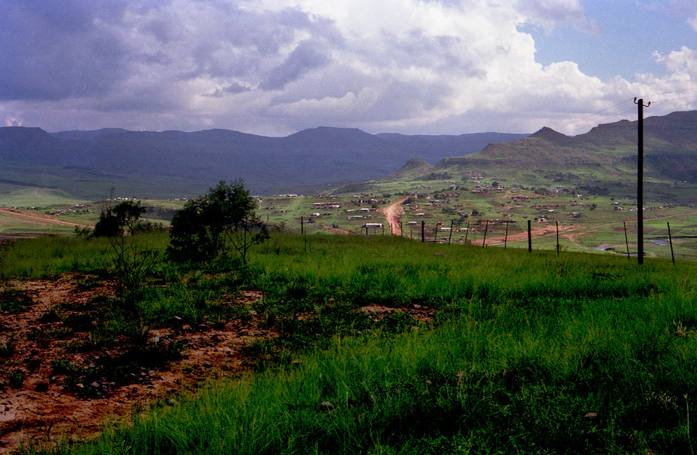
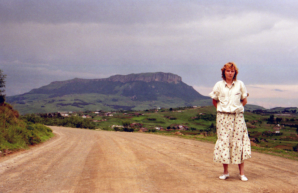
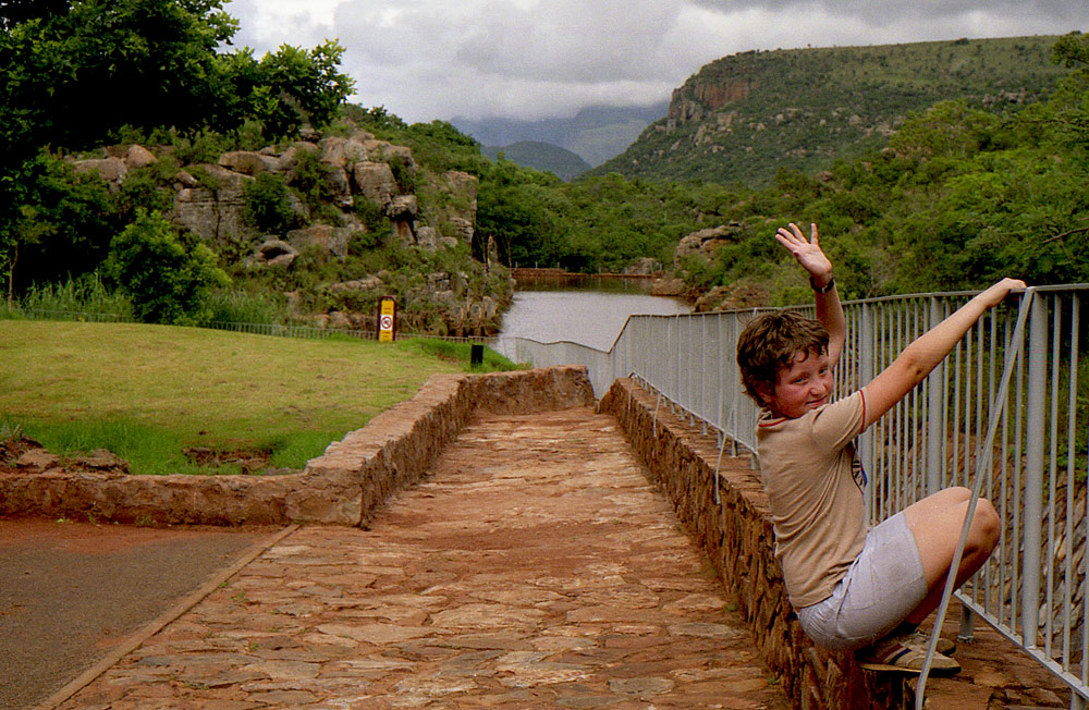
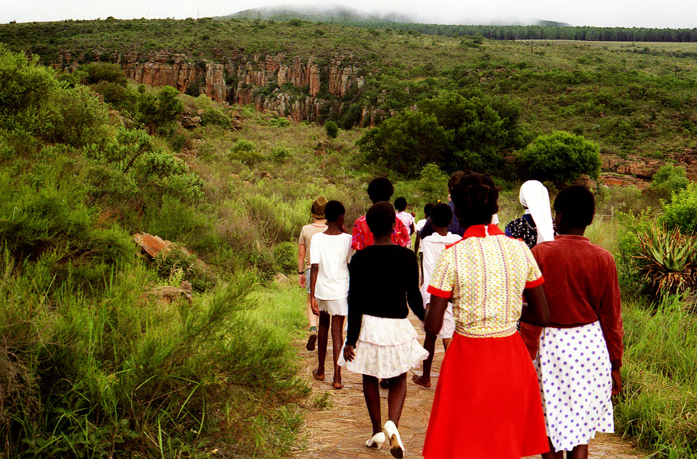
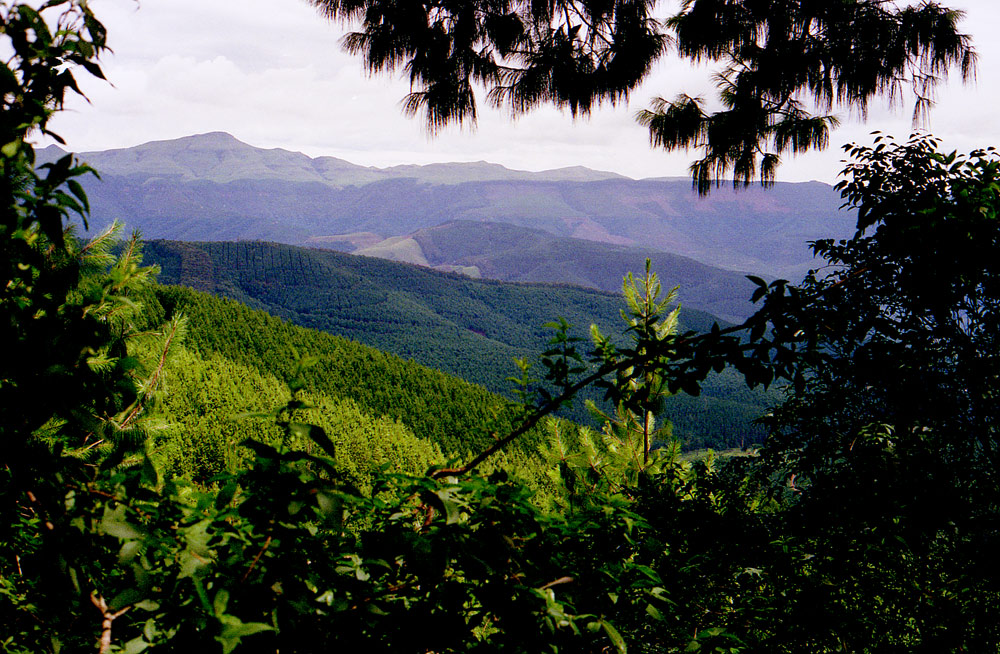
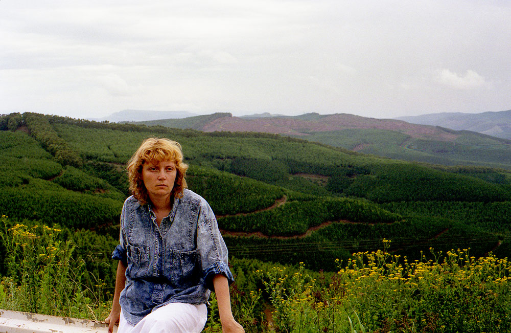
MPUMALANGA
THE HAUNTING EDGE OF THE BERG
Mpumalanga (Zulu name for "the place where the sun rises") is a province in eastern South Africa, bordering the nations of Swaziland and Mozambique. It embraces the southern half of Kruger National Park, a huge nature reserve with abundant wildlife including big game. The province's iconic Blyde River Canyon, among the world’s largest, is known as a green canyon because of its subtropical foliage.
MBOMBELA NELSPRUIT
Mbombela, formerly Nelspruit, is the capital of South Africa’s Mpumalanga Province. It’s a gateway to Kruger National Park, home to elephants, zebras, rhinos and other wildlife. The city’s Lowveld National Botanical Garden features a man-made rainforest. Northwest are the prehistoric Sudwala Caves, with unusual rock formations. South, Umhloti Nature Reserve contains the Jane Goodall Institute’s Chimp Eden sanctuary.
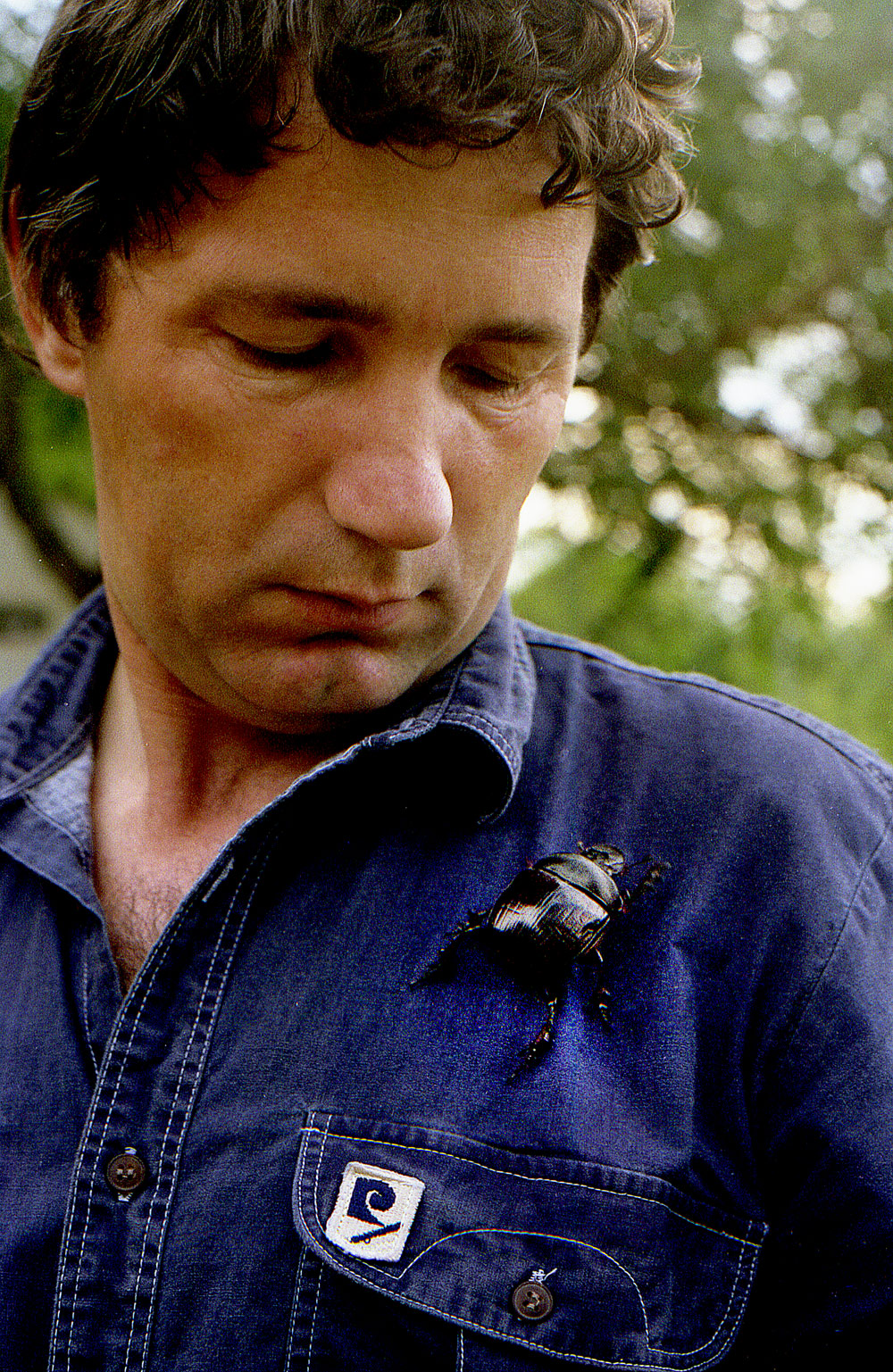
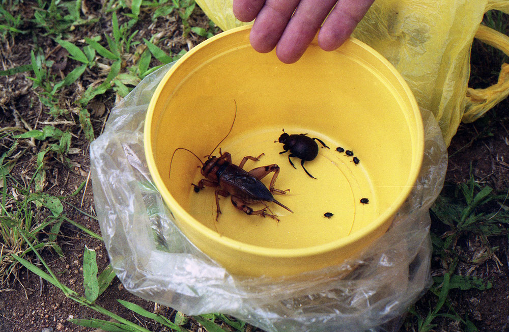
Tak ogromnych rozmiarow owadow nigdy nie widzialal jak w Nelspruit.
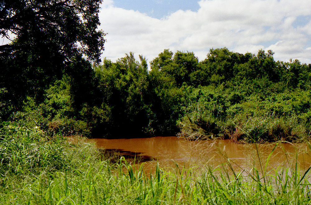
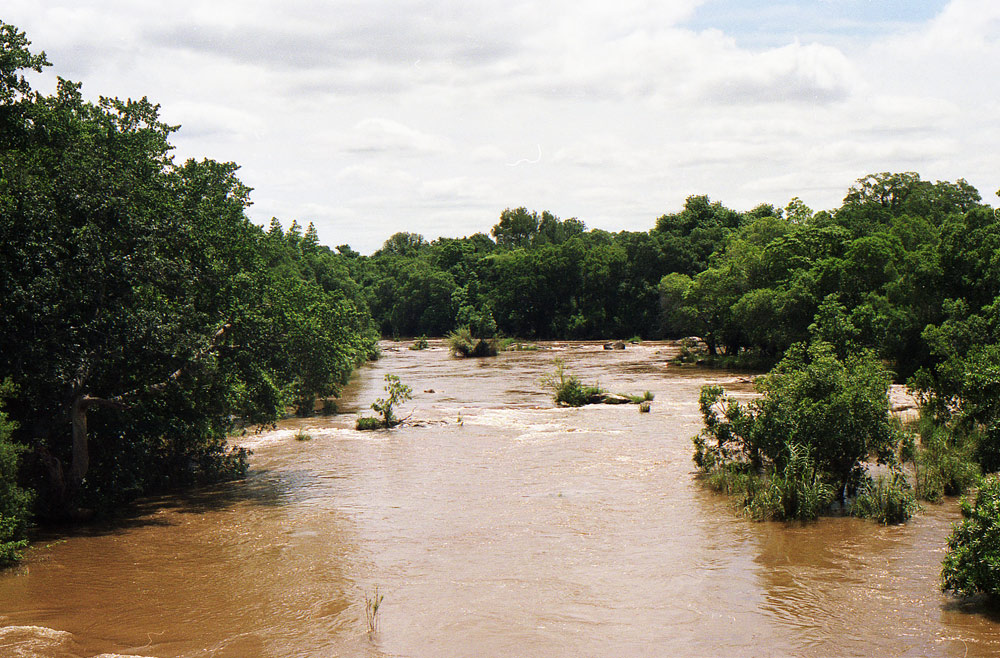
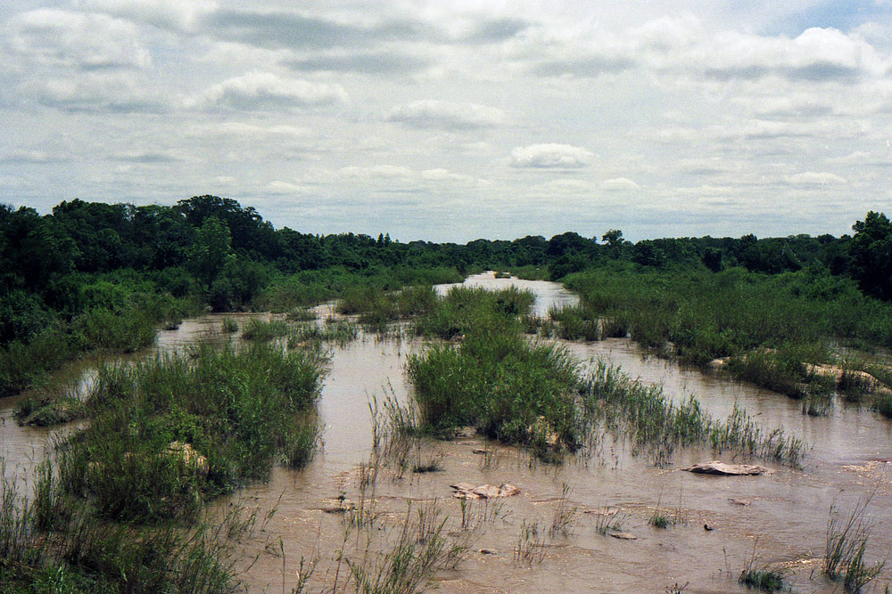
SABIE
Sabie is a forestry town situated on the banks of the Sabie River in Mpumalanga, South Africa. The name Sabie is derived from the Tsonga word "Ulusaba" which means fearful, it is derived from the name of the river. The Tsonga called this river Ulusaba because the river was once teeming with dangerous Nile crocodile. Wikipedia
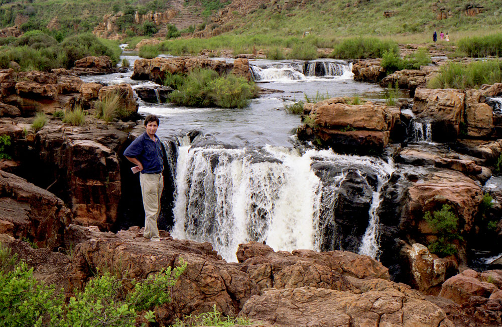
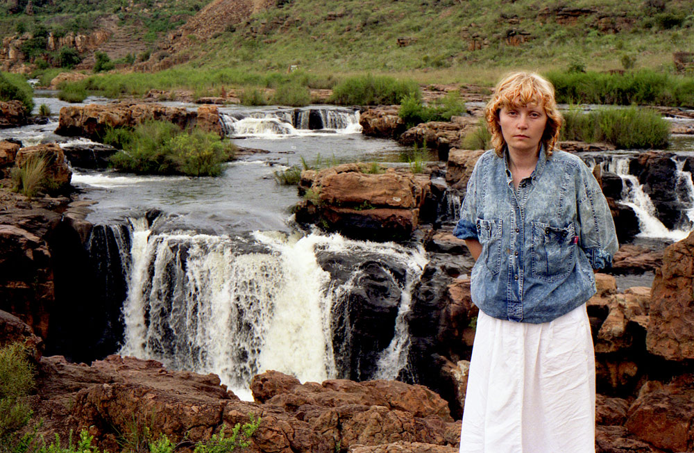
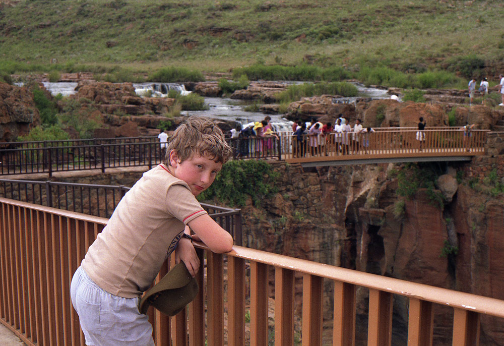
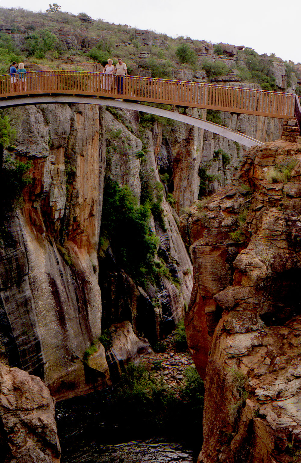
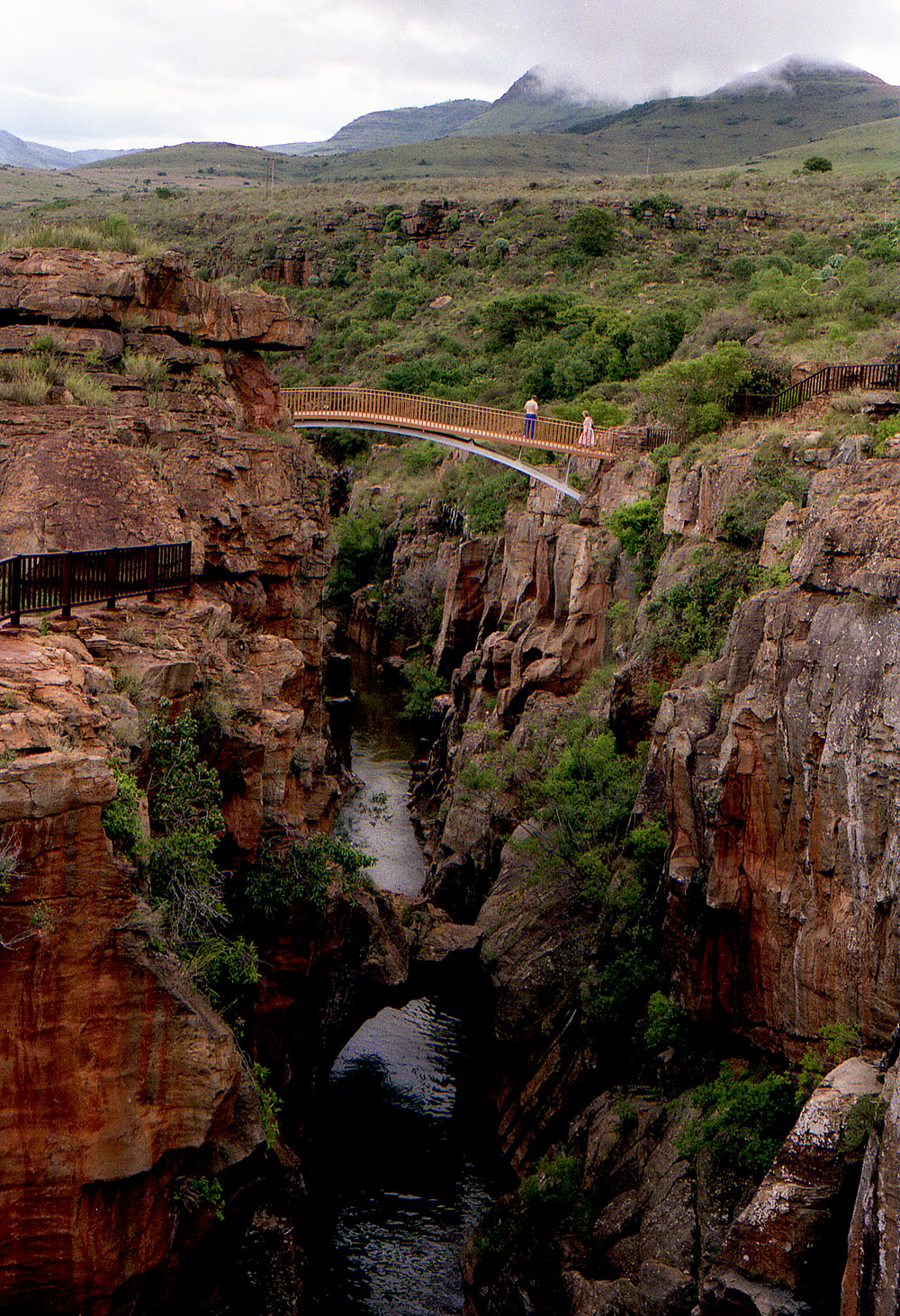
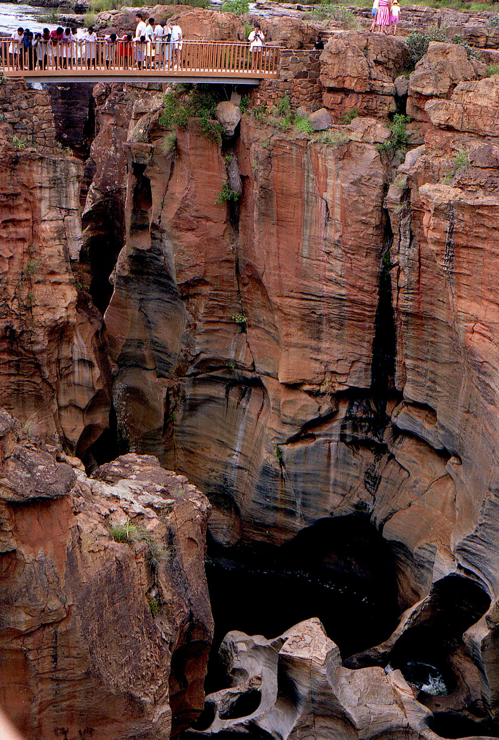
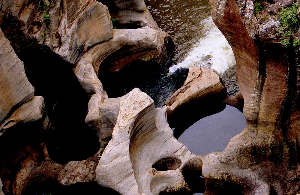
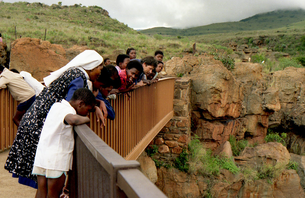
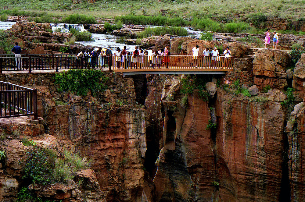
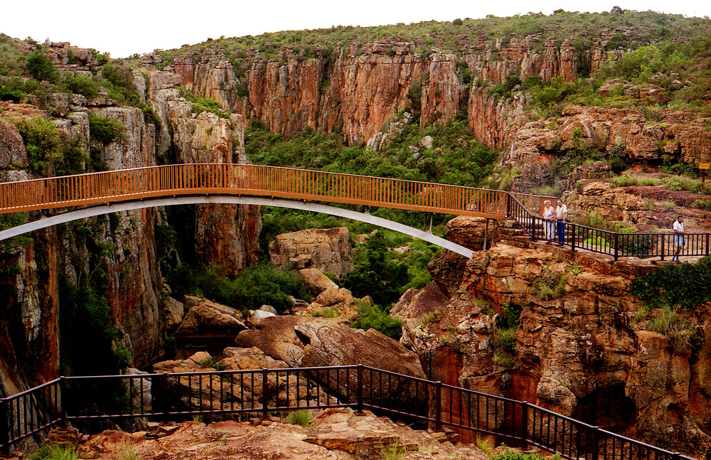
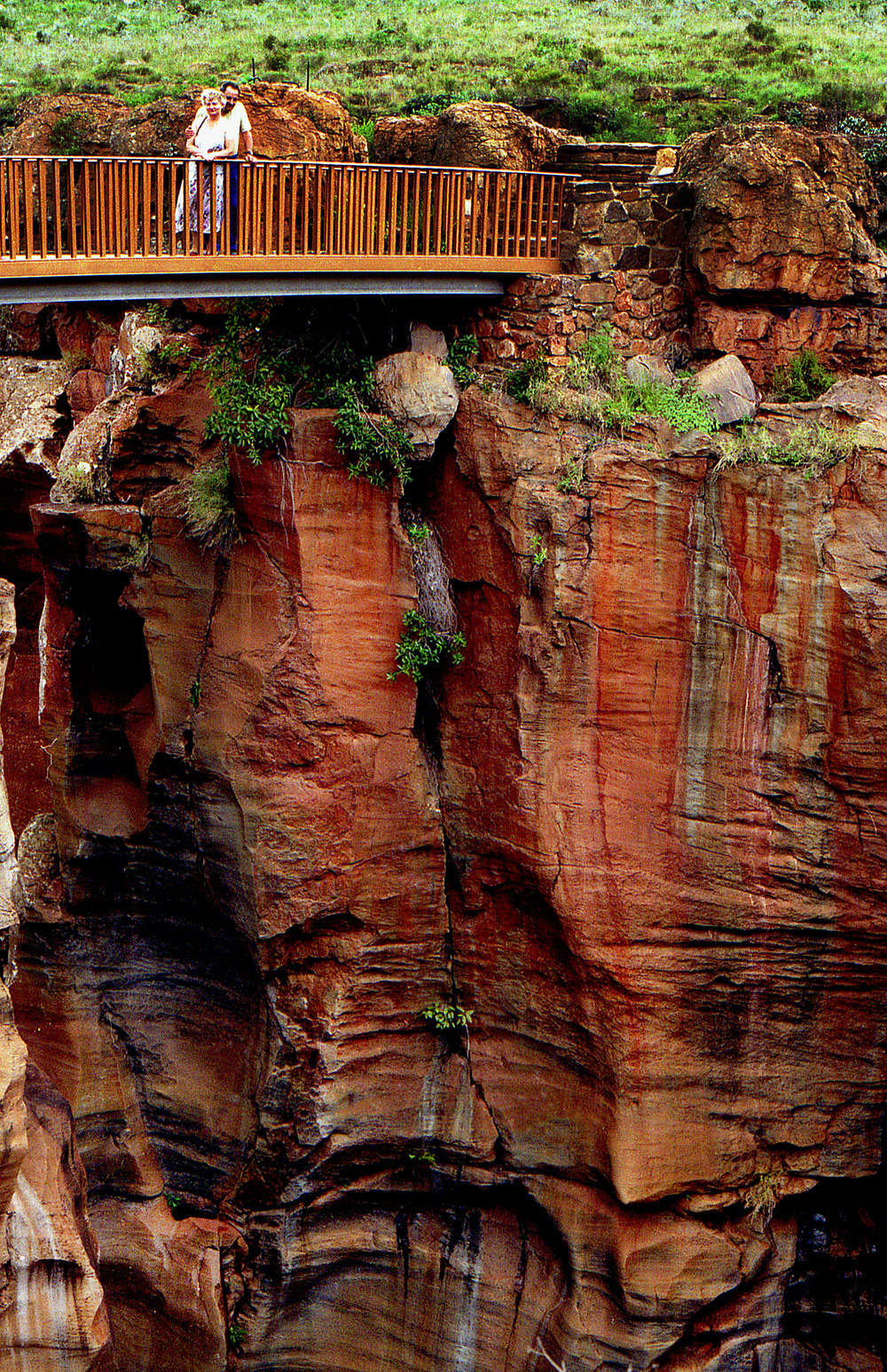
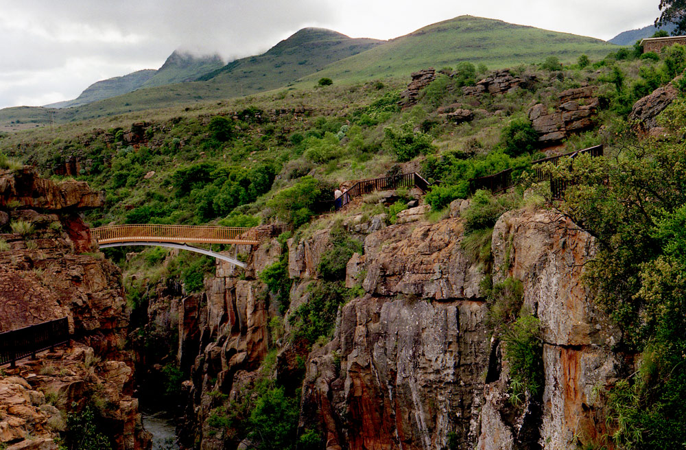
BOURKE'S LUCK POTHOLES
Bourke's Luck Potholes are without doubt a major icon, but when thrown in together with the likes of the Three Rondawels, God's Window, the Blyde River Canyon and numerous magnificent waterfalls, one can become immune after a while.
If you can, begin your wander around Mpumalanga with Bourke's Luck Potholes, for they are without doubt incredible. Essentially they're the result of decades of swirling eddies of water where the Treur River meets the Blyde River, the tumult of which has caused extensive water erosion over time. The result is a series of cylindrical rock sculptures that look as though they would be more comfortable on the moon.
To see these geological wonders (it is no surprise to learn that they've made it onto Frommer's 500 places to take your kids before they grow up) that are an amazing array of white, yellow and dark brown eddies of colour because of the soil present in the water, you'll need to travel roughly 35 kilometres due north of Graskop on the R532.
They are on the Panorama Route and are one of the major tourist attractions in South Africa, so best get there ahead of the bus tours. A series of metal bridges take you right above them, if photographs are a high priority, whilst walkways around the ridges allow you various angles and viewpoints from which to take your snaps.
Their strange name, in case you were wondering, comes from the gold digger, Tom Burke, who staked a nearby claim.
The problem with travelling Mpumalanga is that after a while the sheer magnitude of the various natural wonders, of which Bourke's Luck Potholes are just one, begin to lose their significance.
Bourke's Luck Potholes.
THREE RONDAVELS
Along with Bourke's Luck Potholes, the Three Rondavels are one of the major icons of the Mpumalanga Province
Both geological wonders are on the Panorama Route, a highly popular tourist drive to follow when exploring the province, and, depending on which way you choose to drive along the 16 kilometres of the Blyde River Canyon, the Three Rondavels either starts or ends your journey.
Exactly as they sound, the Three Rondavels are three round mountain tops with slightly pointed tops, very similar to the traditional round or oval African homesteads made with local materials called rondavels. They are sometimes also called the Three Sisters (although this confuses them with a similar threesome visible from the N1 in the Free State lower down in the country).
Once known as The chief and his three wives – the flat-topped peak represented Mapjaneng, famous for opposing invading Swazis in a memorable battle is on the right, whilst the rondavels are three of his more troublesome wives – Magabolle, Mogoladikwe and Maseroto.
The view point is spectacular. From here one looks over the canyon to the Three Rondavels on the other side of the northern edges of the Drakensberg range of mountains. An outlook that is overwhelmingly beautiful and deserves more than a moment's respite.
The beautiful to look at formations are explained geographically as the slow erosion of underlying soft stone, leaving the exposed quartzite and shale rondavels at which we marvel. Whatever their origin, they are undoubtedly breathtaking. Together with God's Window and Bourkes Luck Potholes, the Three Rondavels are a highlight of any trip along the third largest canyon in the world.
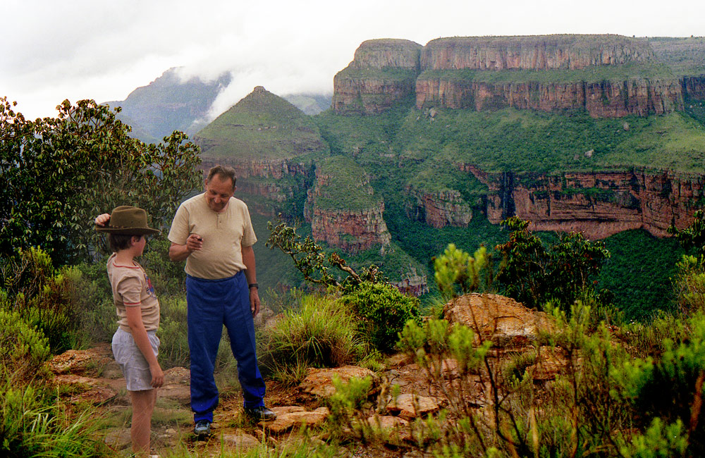
The Blyde River gorge, overlooked by the Three Rondavels.
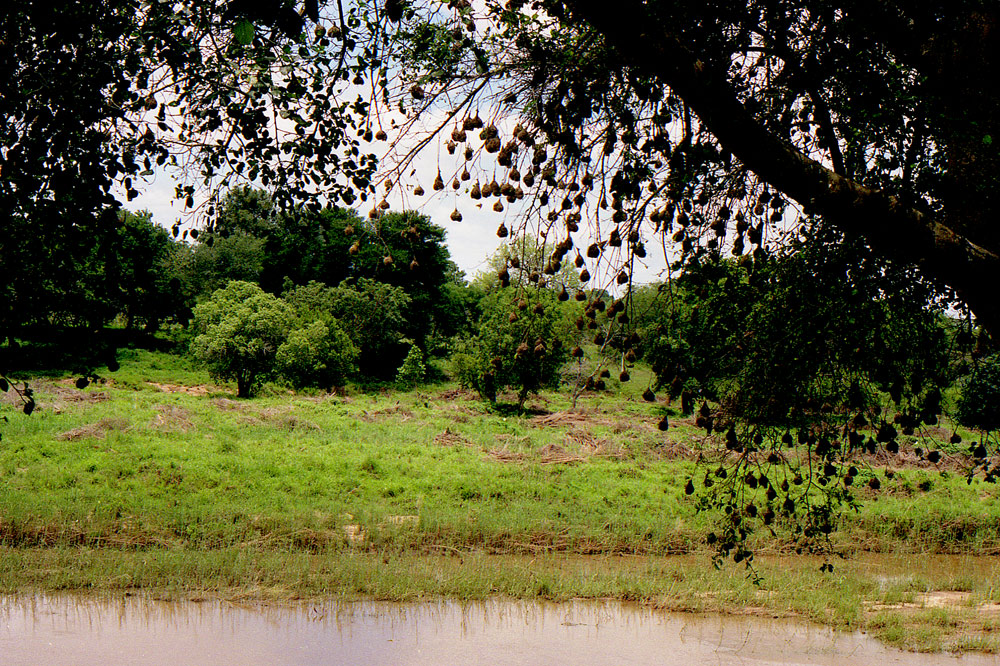
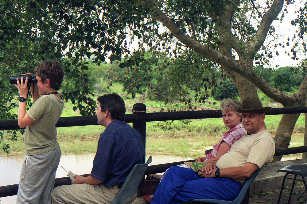
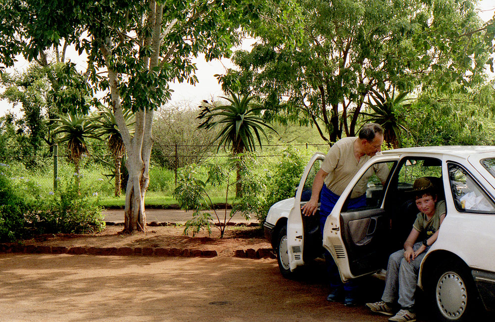
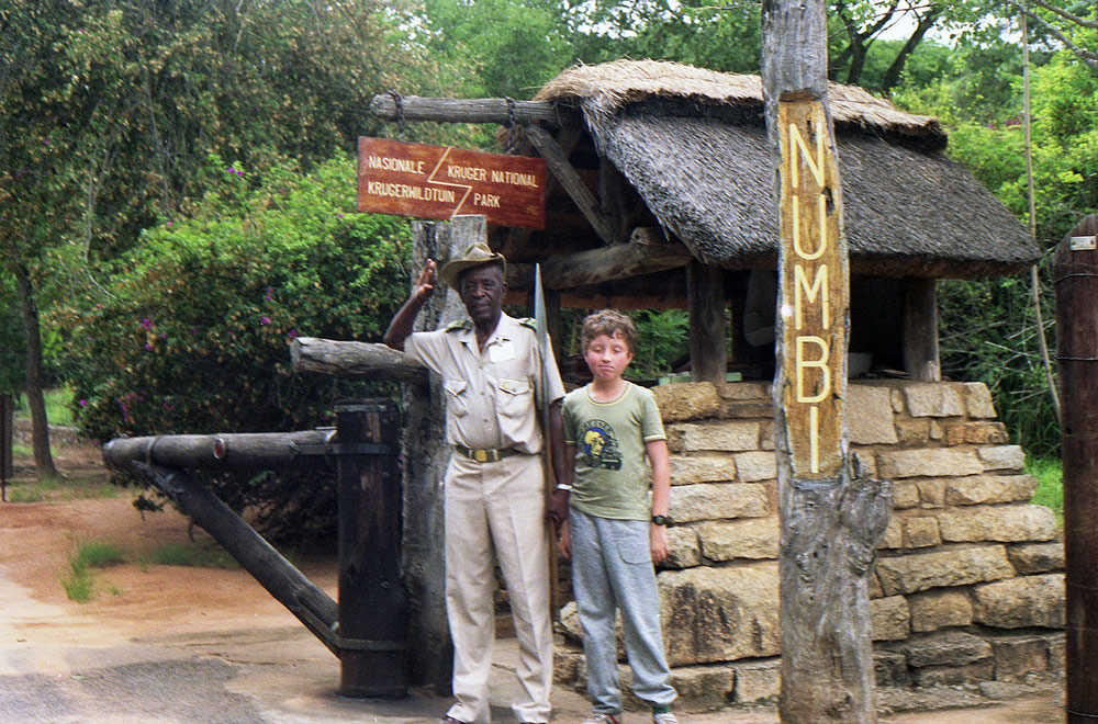
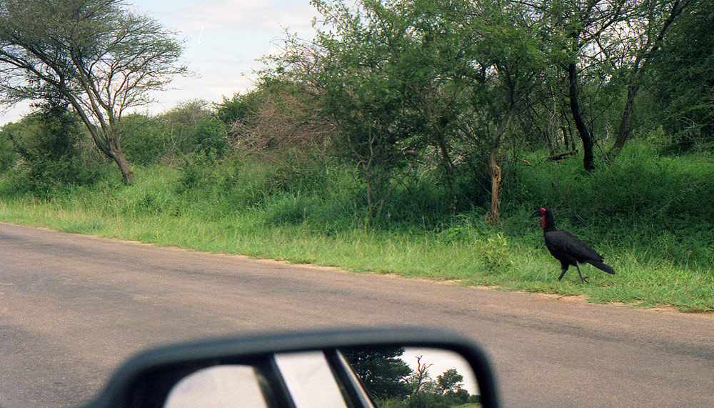
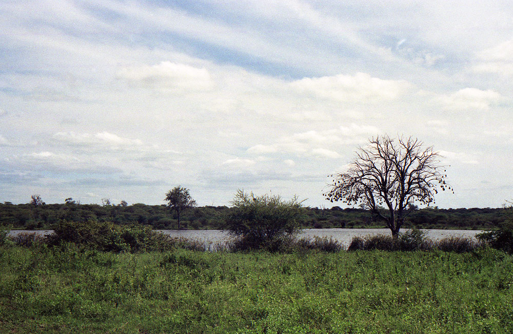
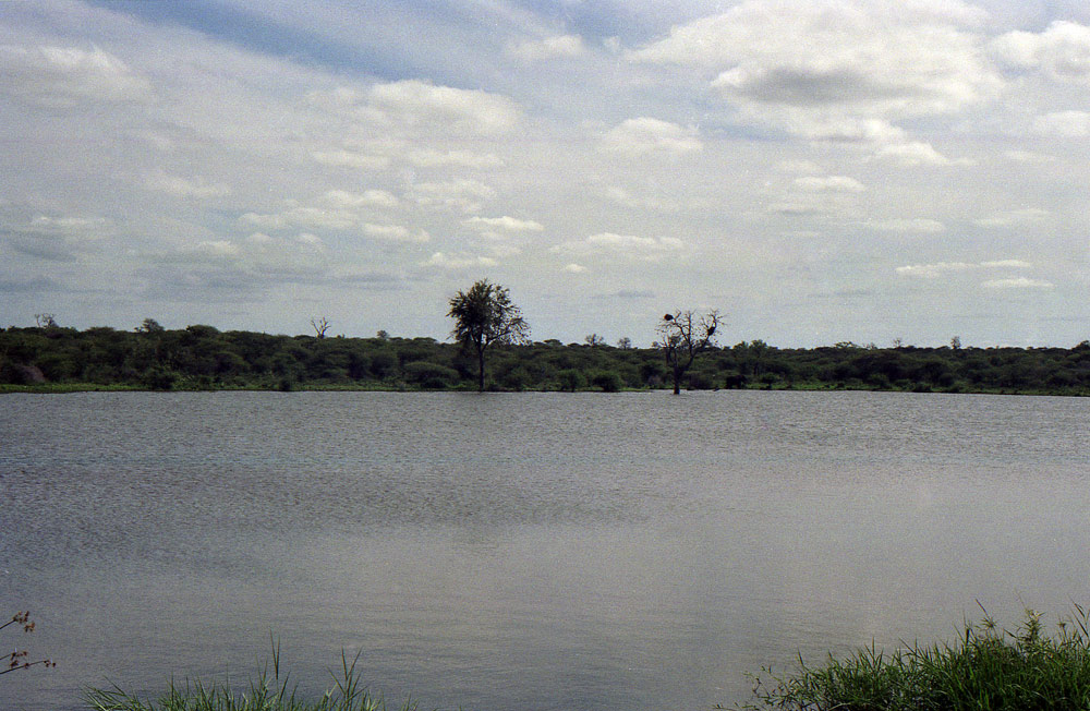
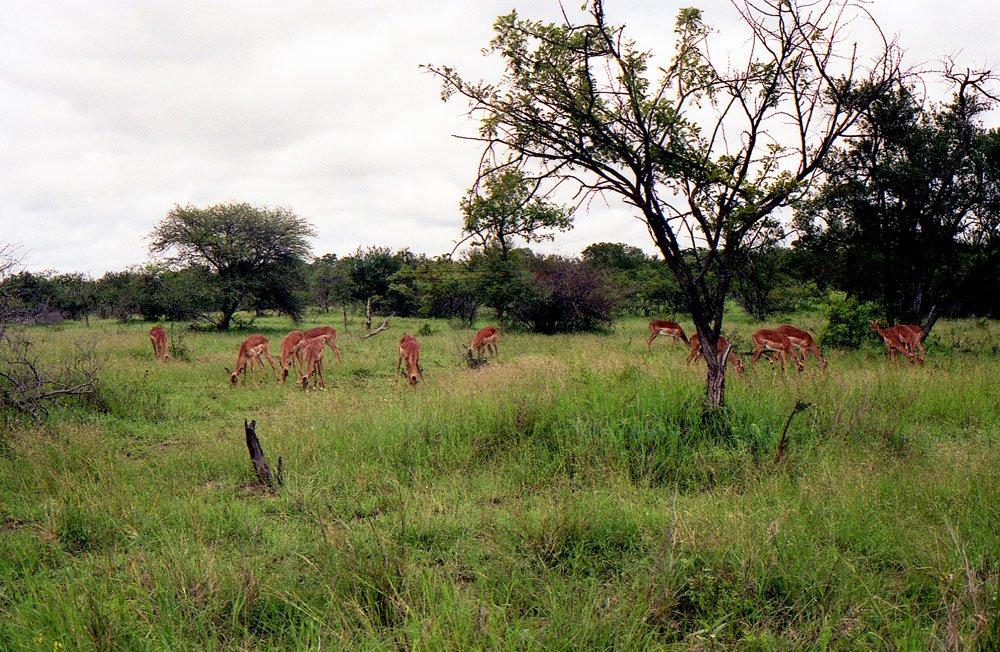
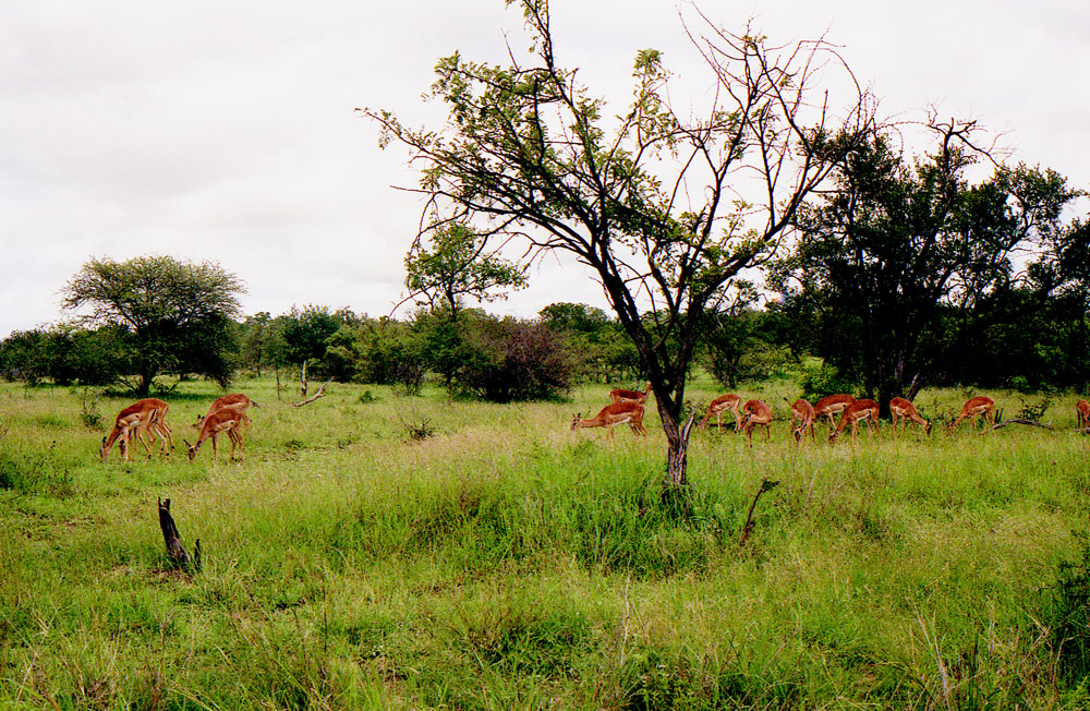
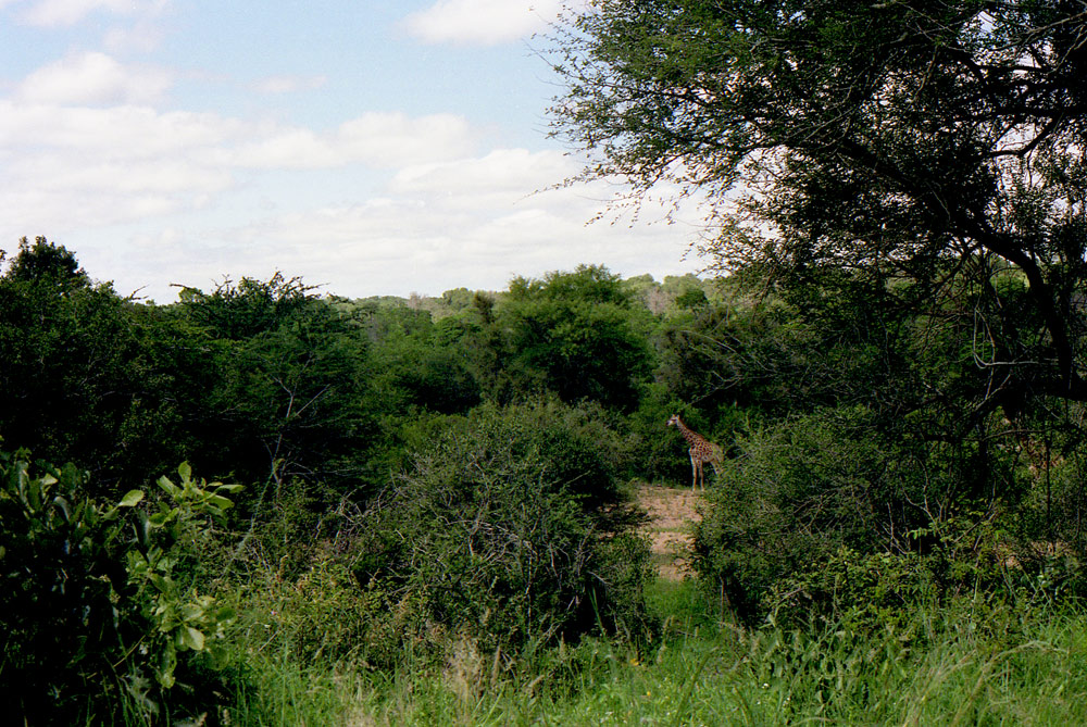
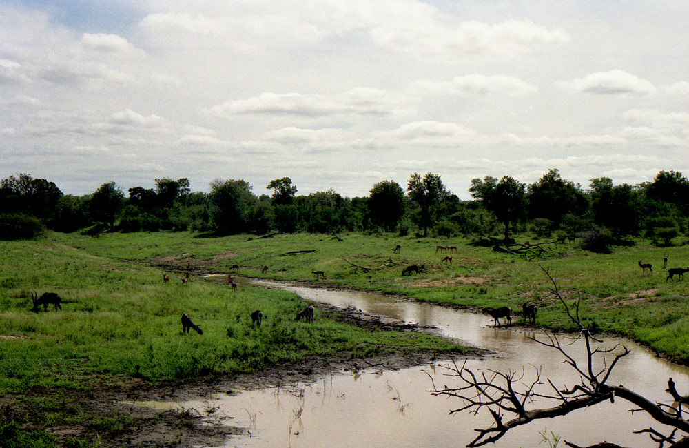
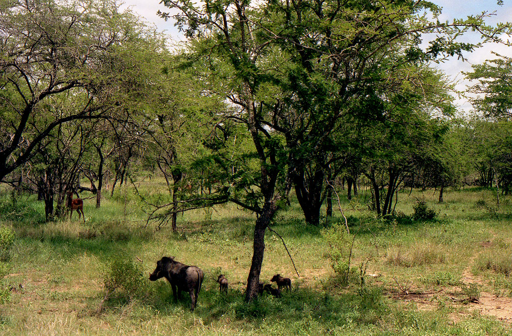
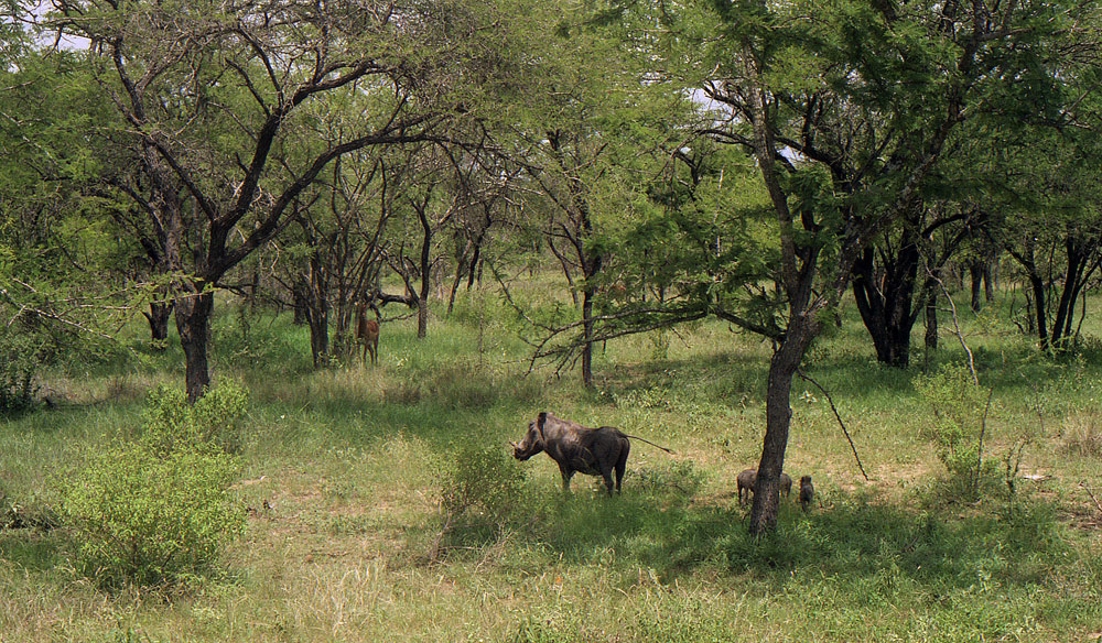
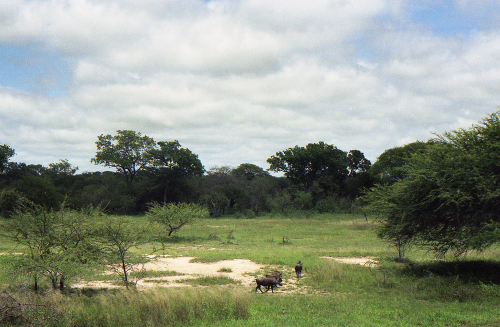
KRUGER NATIONAL PARK
Kruger National Park, in northeastern South Africa, is one of Africa’s largest game reserves. Its high density of wild animals includes the Big 5: lions, leopards, rhinos, elephants and buffalos. Hundreds of other mammals make their home here, as do diverse bird species such as vultures, eagles and storks. Mountains, bush plains and tropical forests are all part of the landscape.
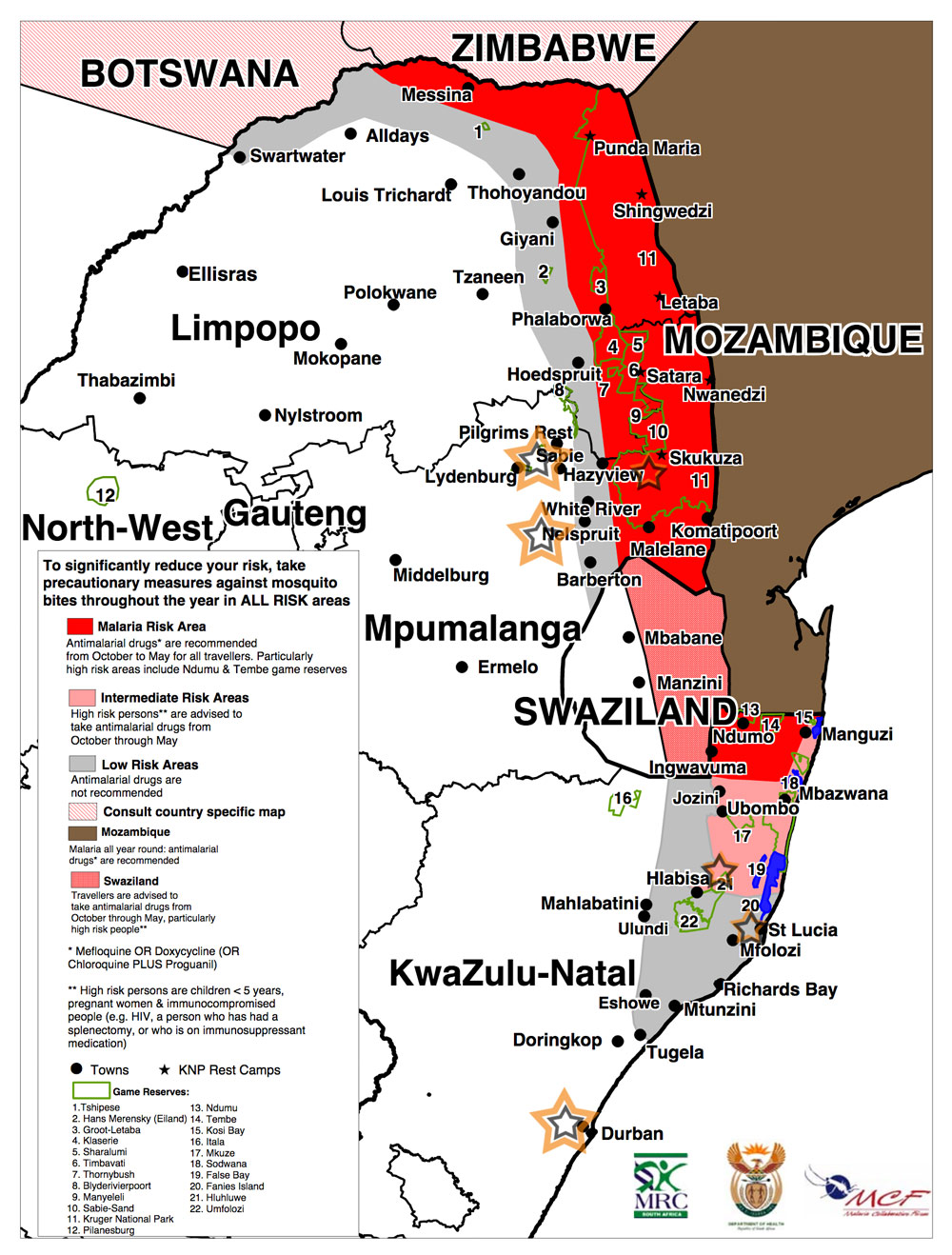
Mapa wystepowania malarii.
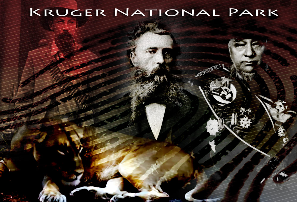
Stephanus Johannes Paulus "Paul" Kruger (Afrikaans [ˈkrʏɣər]; 10 October 1825 – 14 July 1904) was one of the dominant political and military figures in 19th-century South Africa, and President of the South African Republic (or Transvaal) from 1883 to 1900. Nicknamed Oom Paul ("Uncle Paul"), he came to international prominence as the face of the Boer cause—that of the Transvaal and its neighbour the Orange Free State—against Britain during the Second Boer War of 1899–1902. He has been called a personification of Afrikanerdom, and remains a controversial and divisive figure; admirers venerate him as a tragic folk hero, and critics view him as the obstinate guardian of an unjust cause.
Kruger was appointed Vice-President in March 1877, shortly before the South African Republic was annexed by Britain as the Transvaal. Over the next three years he headed two deputations to London to try to have this overturned. He became the leading figure in the movement to restore the South African Republic's independence, culminating in the Boers' victory in the First Boer War of 1880–81. Kruger served until 1883 as a member of an executive triumvirate, then was elected President. In 1884 he headed a third deputation that brokered the London Convention, under which Britain recognised the South African Republic as a fully independent state.
Kruger National Park
Kruger National Park is one of the largest game reserves in Africa. It covers an area of 19,485 square kilometres (7,523 sq mi) in the provinces of Limpopo and Mpumalanga in northeastern South Africa, and extends 360 kilometres (220 mi) from north to south and 65 kilometres (40 mi) from east to west. The administrative headquarters are in Skukuza. Areas of the park were first protected by the government of the South African Republic in 1898, and it became South Africa's first national park in 1926.
To the west and south of the Kruger National Park are the two South African provinces of Limpopo and Mpumalanga. In the north is Zimbabwe, and to the east is Mozambique. It is now part of the Great Limpopo Transfrontier Park, a peace park that links Kruger National Park with the Gonarezhou National Park in Zimbabwe, and with the Limpopo National Park in Mozambique.
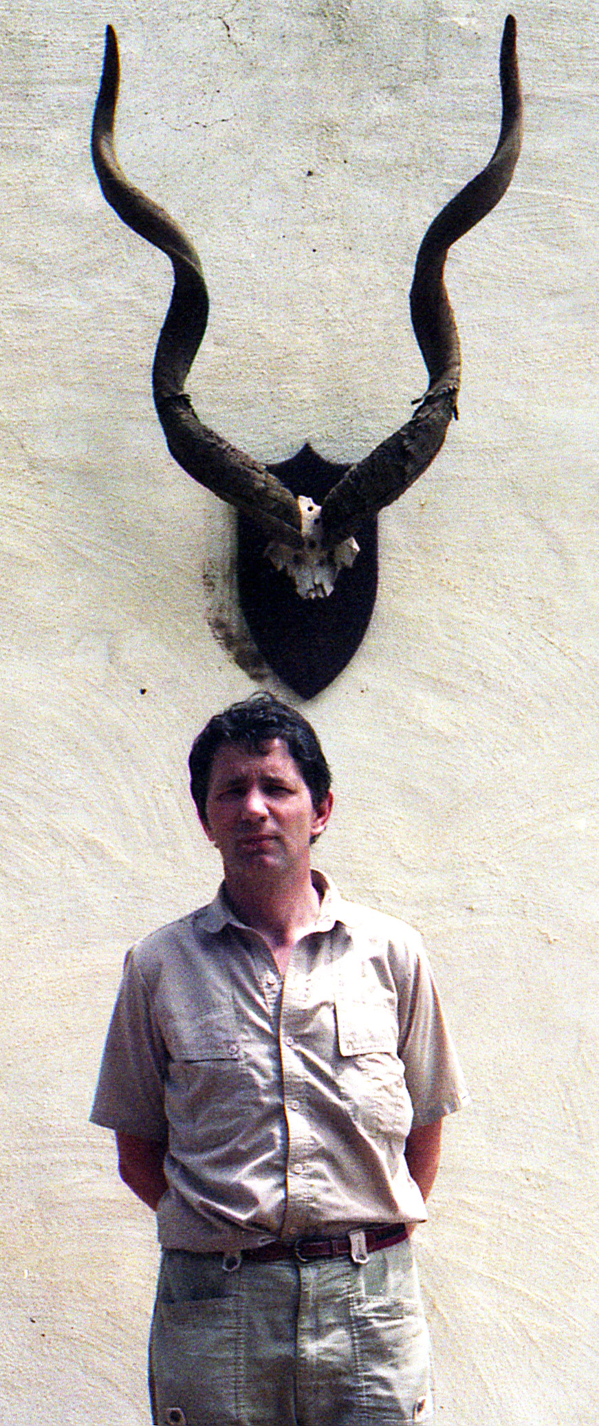
Ogromne rogi Greater Kudu.
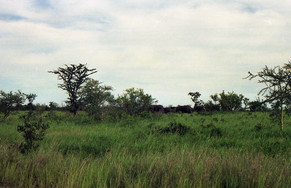
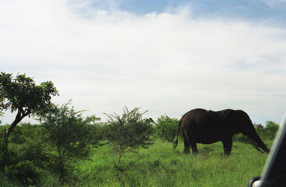
Slonie na horyzoncie.
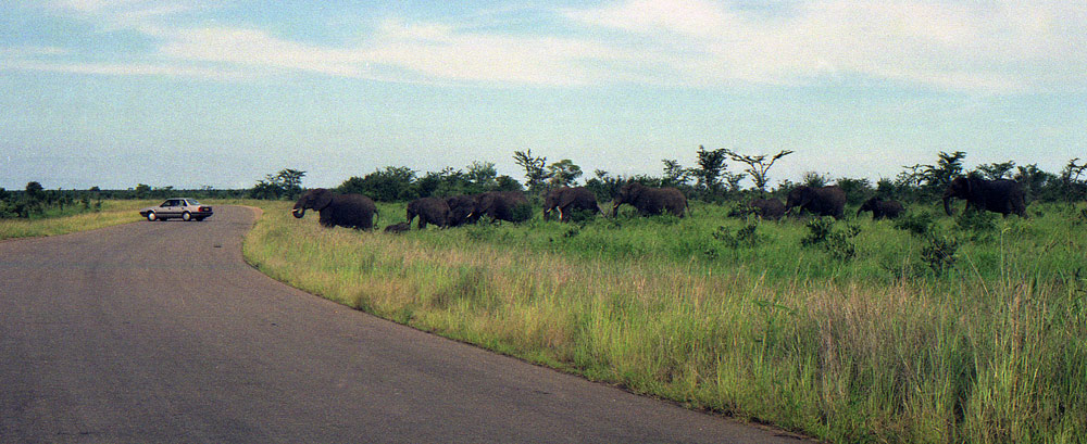
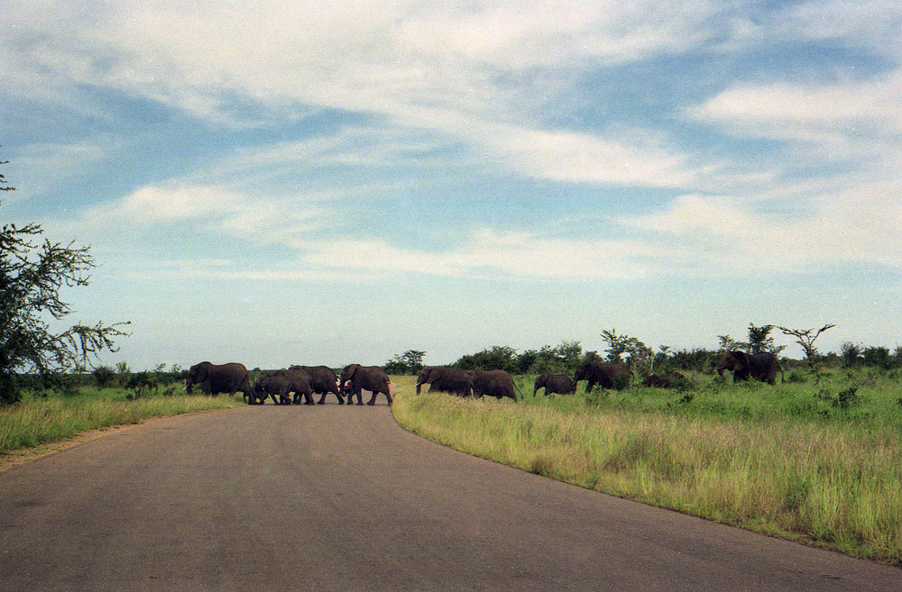
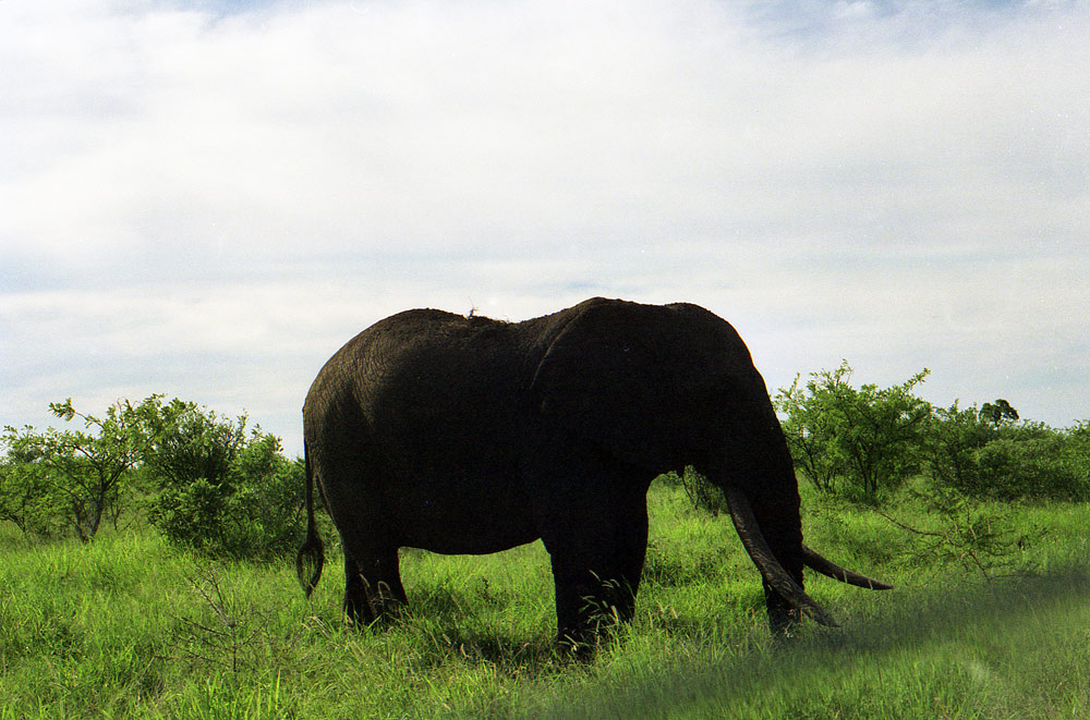

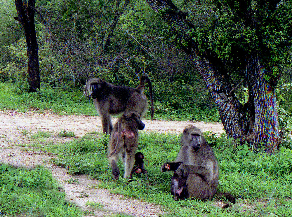
W rezerwatach, trzeba miec duzo czasu i dobry sprzet foptograficzny z odpowiednimi obiektywami, by robic dobre zdjecia, nie mniej mozemy sie troche zastanowic patrzac jedynie na srodowisko i warunki ogromnych rezerwatow w Afryce, ktore szokuja naturalnym pieknem, sloncem, rozmachem, ogromem i obfitoscia ... dlatego latwo zrozumiec co to jest wolnosc, porownujac, zwierzeta w zoo i zwierzeta na wolnosci w pieknej zyciodajnej przyrodzie, w duzych skupiskach wlasnej grupy.
Sczegolnie slonie traca na wolnosci w izolacji, na wybiegach w zoo. One potrzebuja duzo przestrzeni. Jesli obserwuje sie stada sloni w naturalnych dla nich warunkach, to widac jak te zwierzeta sie zachowuja, jak sa inteligentne i zorganizowane, ucza swoja mlodziez, chronia slabsze osobniki, i maja rozne pozycje w stadzie, same decyduja, nikt nie musi dawac im nawet jedzenia, ptrafia zadbac same o siebie i przetrwac.........to jest wolnosc.
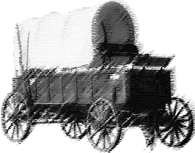
The Great Trek (1835-1840)
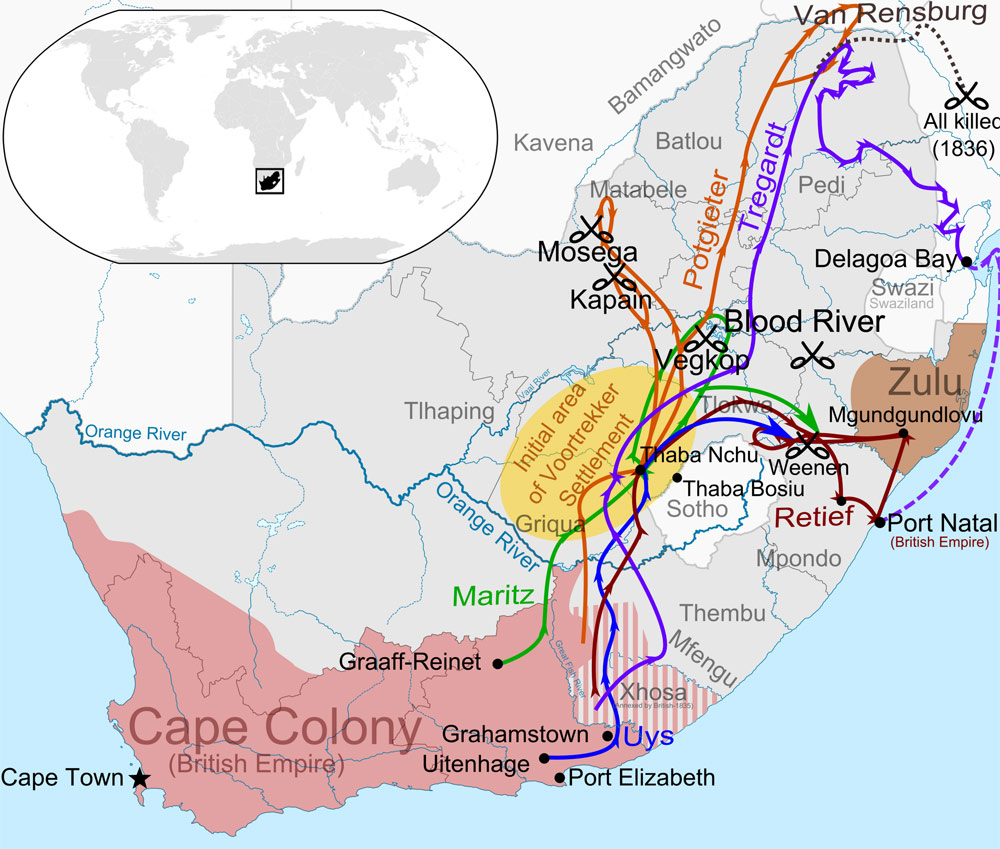
A map of the first wave of the Great Trek (1835-1840) illustrating the paths of the largest parties of Voortrekkers across Southern Africa. Based on the map in "The Great Trek" (1985) by B.P.J. Erasmus and the "Illustrated History of South Africa: The Real Story" by Reader's Digest (1988), pg 115.
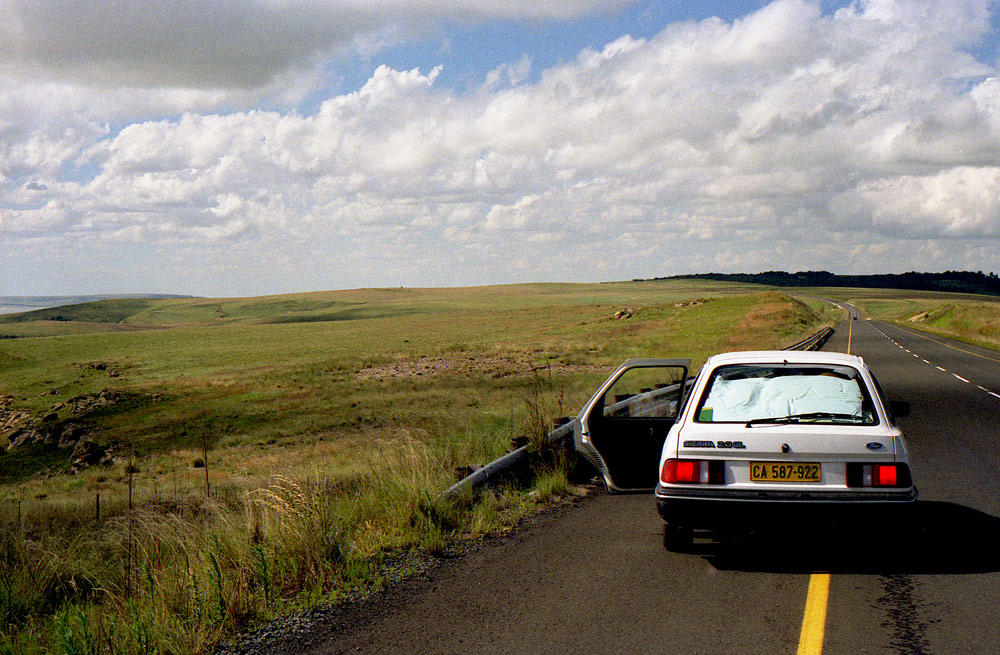
POWROT DO CAPE TOWN
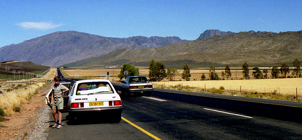
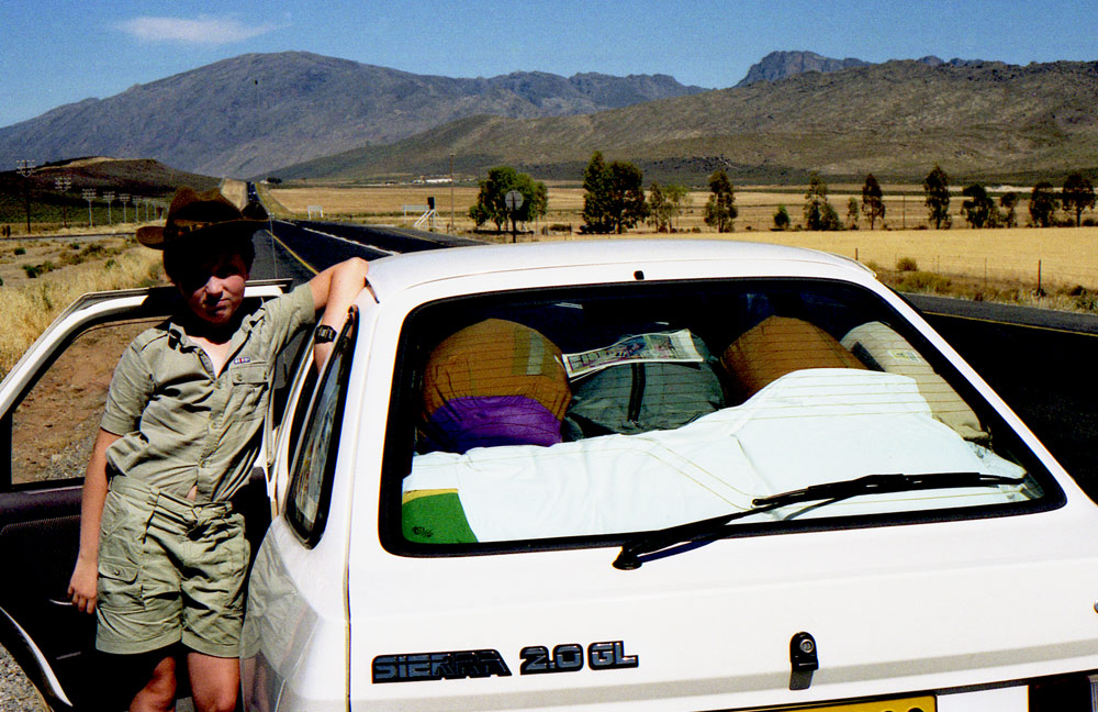
DROGA KOLO CAPE TOWN
© 2019 Barbara Chodacki. All Rights Reserved.
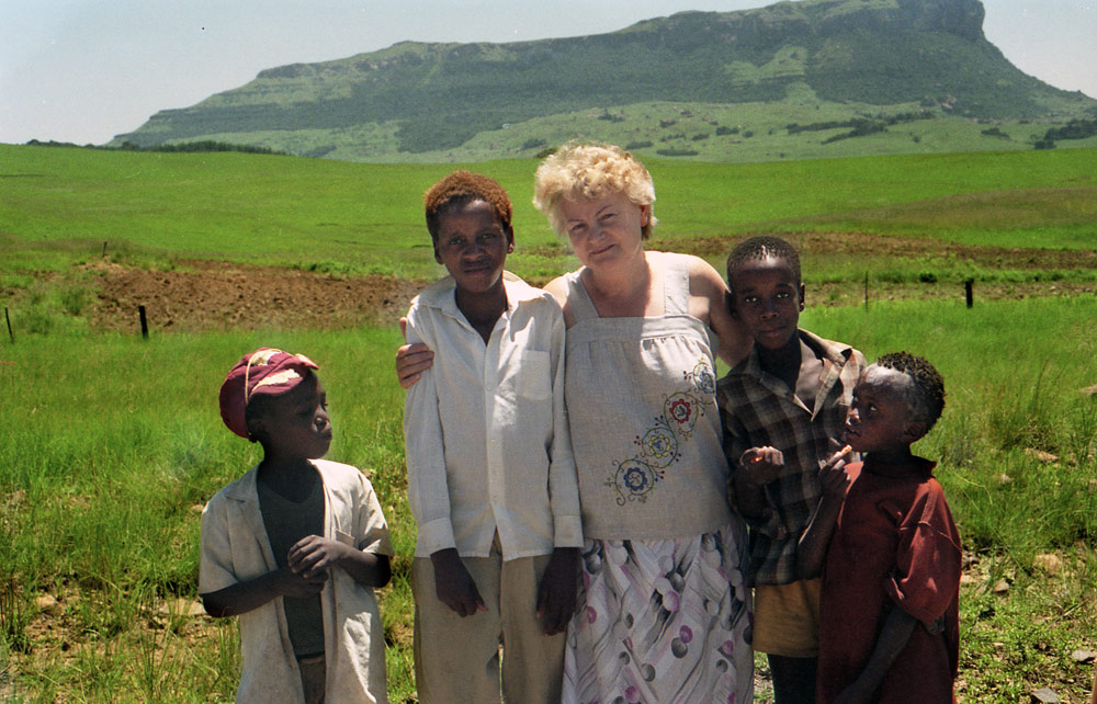
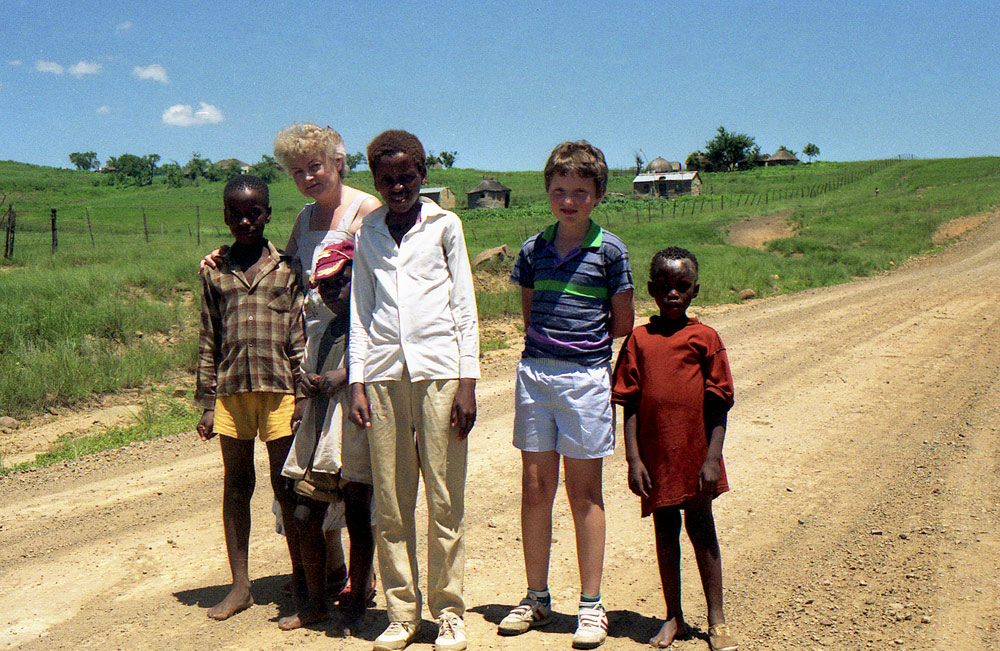
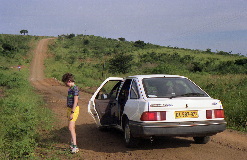
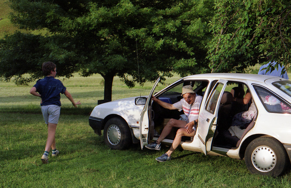
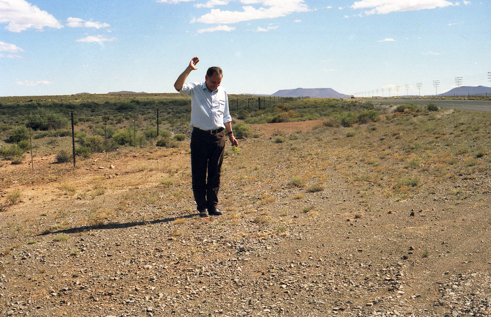
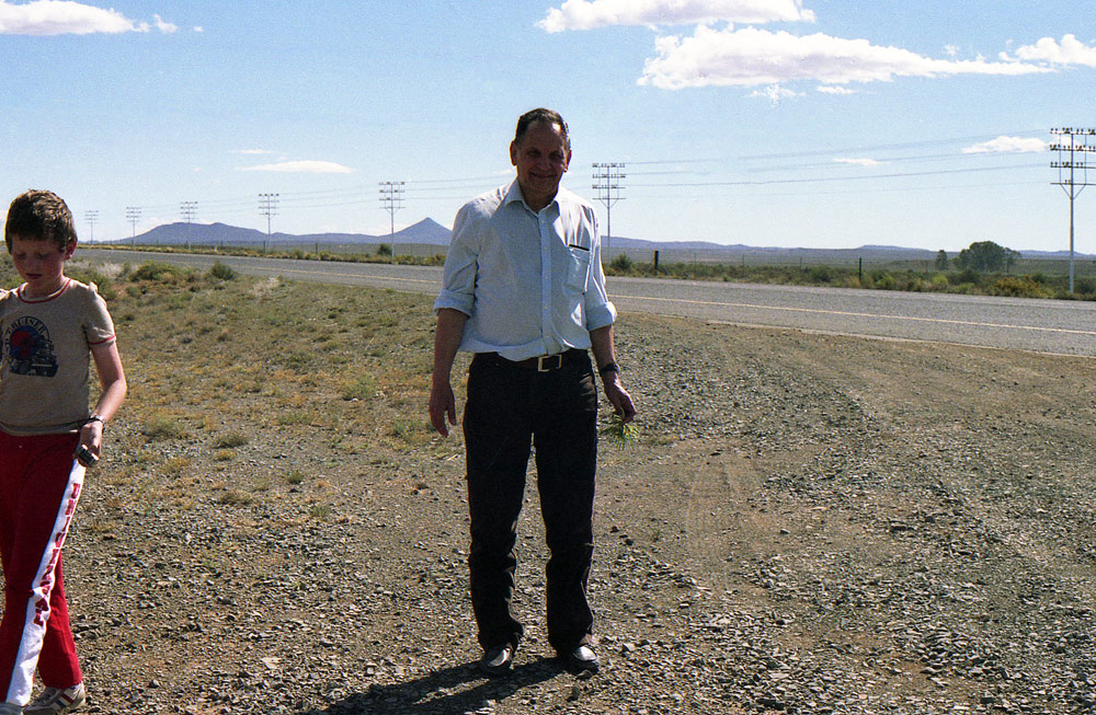
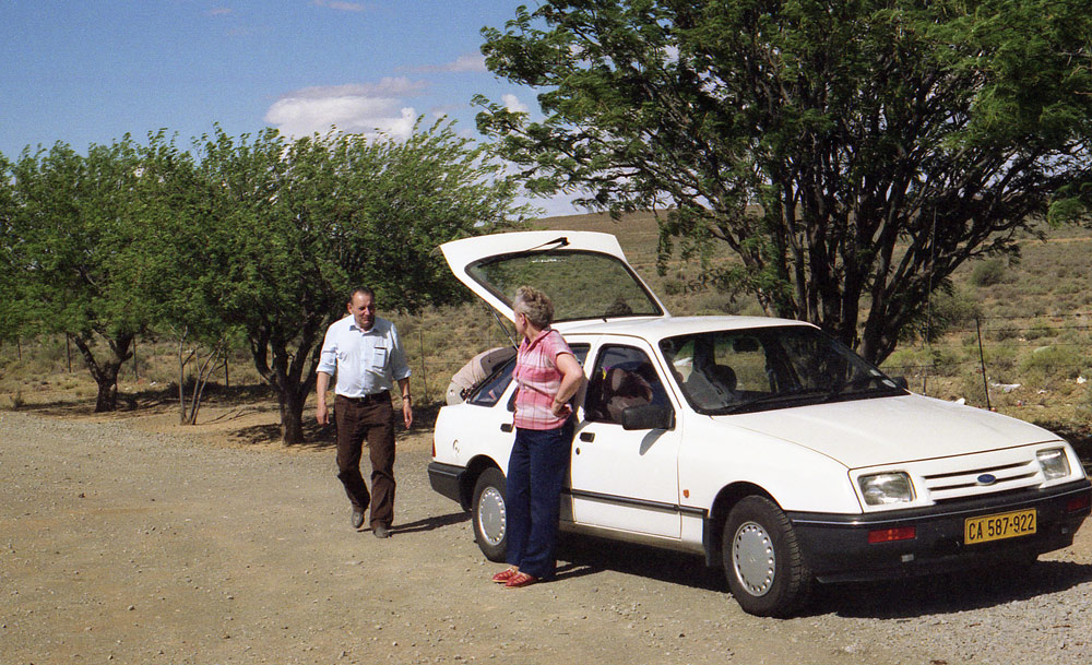
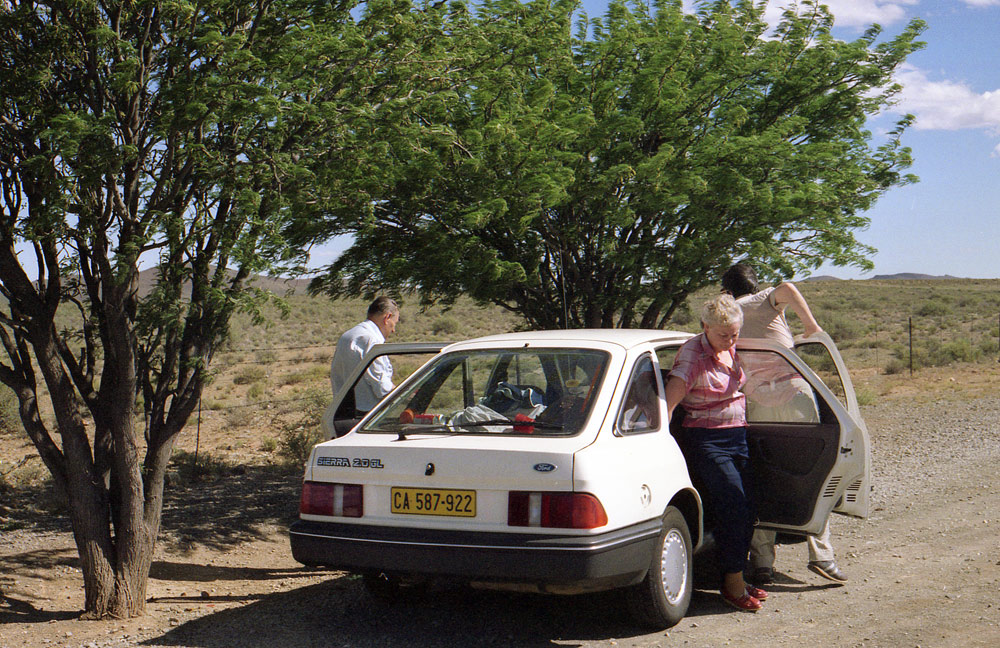
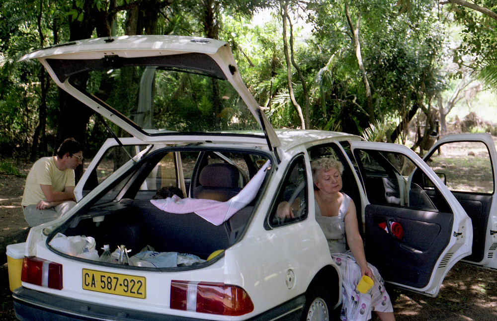
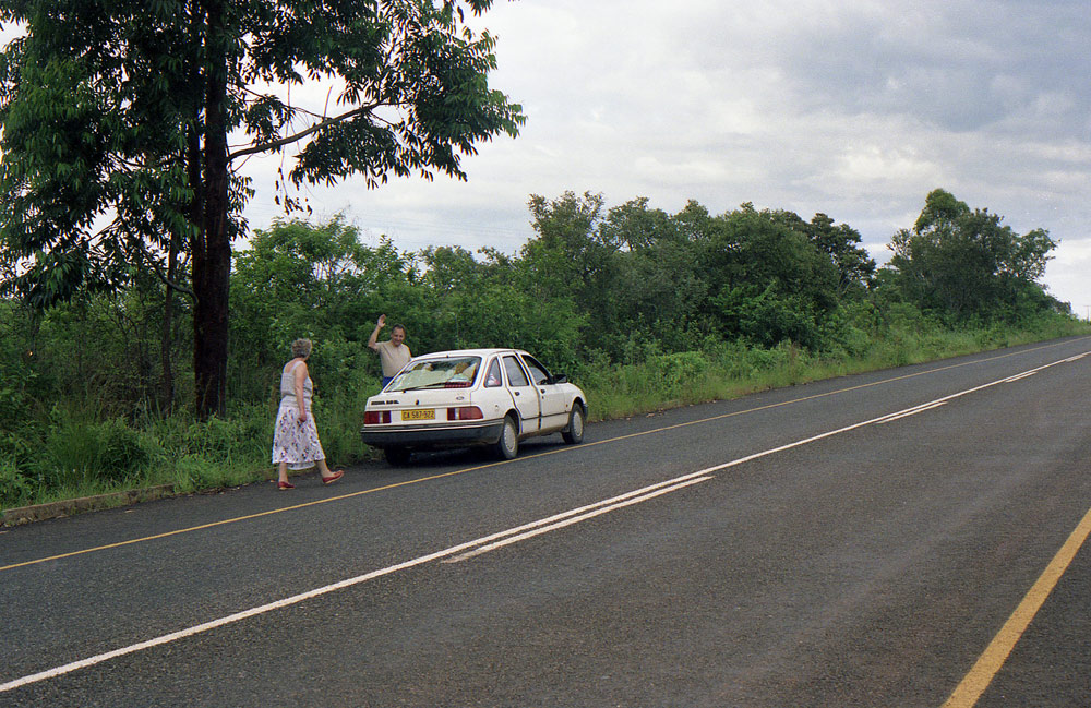
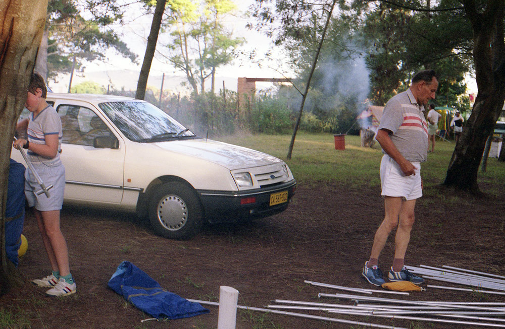
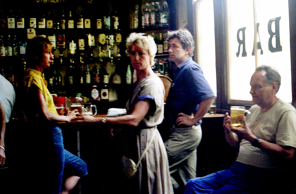
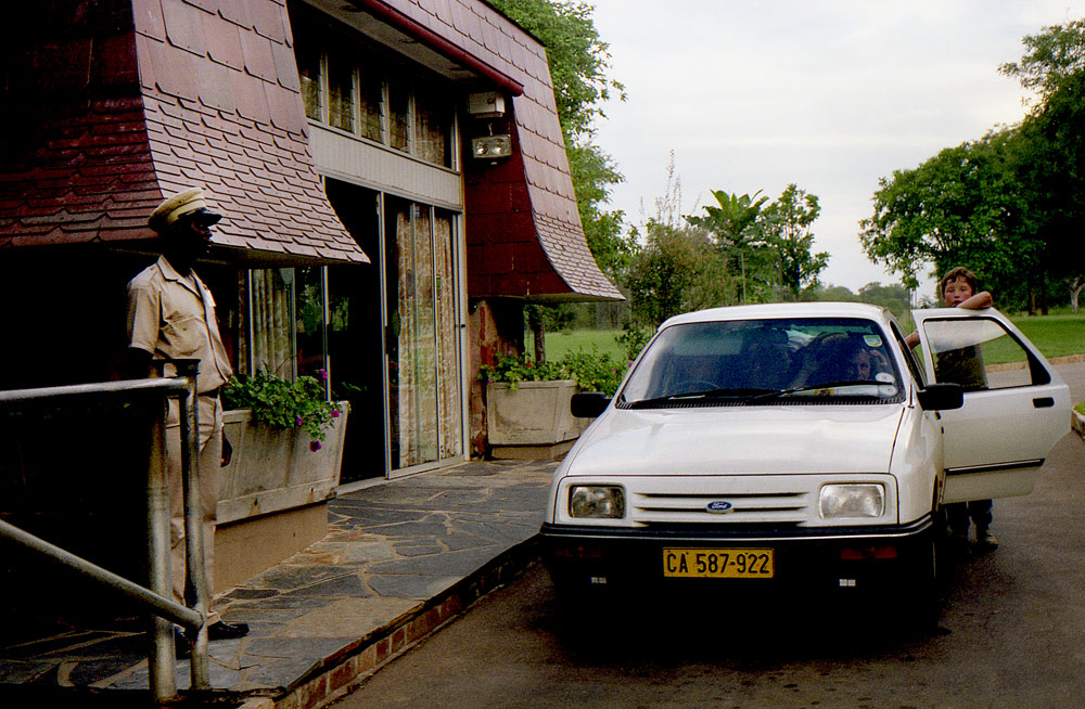
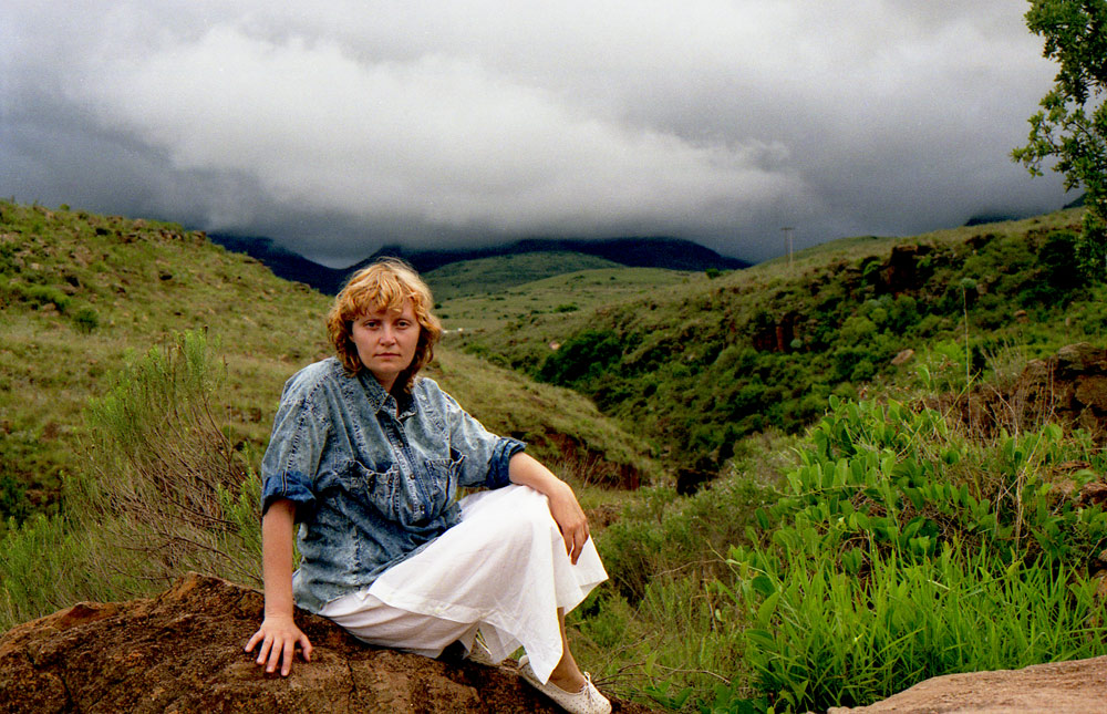
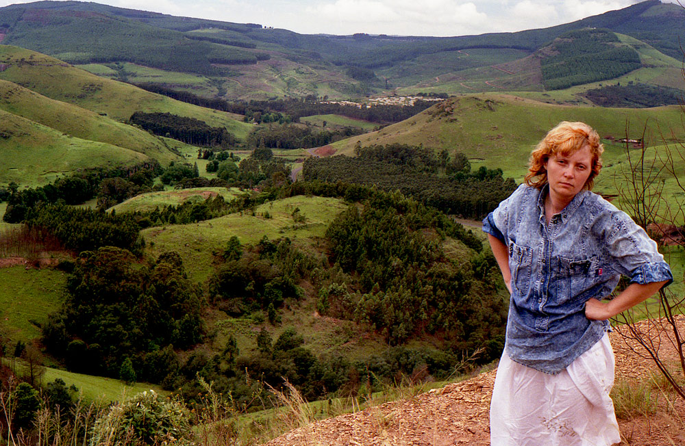
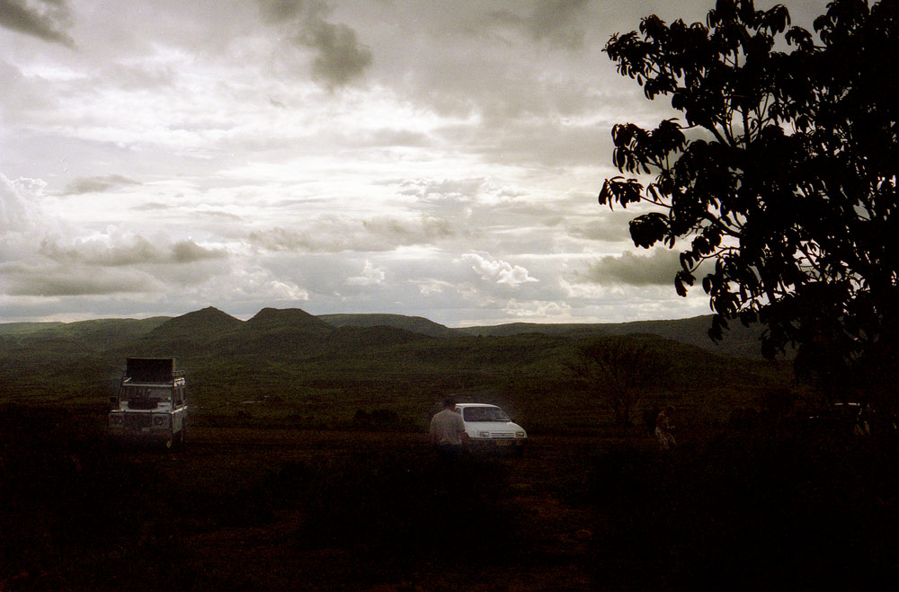
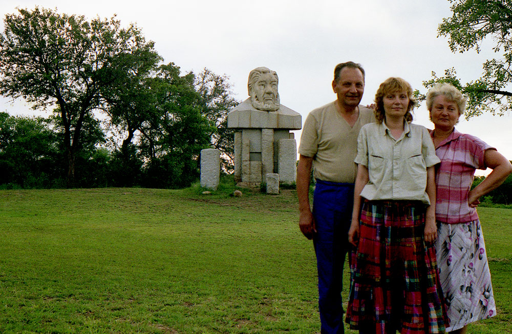
PHOTO. B & J-K Chodacki. TRANSVAAL ( Nasz maly TREK ) RPA 1980s.